
Coordinates - Definition, Examples, Quiz, FAQ, Trivia
Learn to locate points using coordinates with easy explanations and practice activities
What are Coordinates?
Coordinates are a set of numbers that help us find the exact location of a point on a grid or map. They work like an address for points in space! Coordinates usually come in pairs: the first number tells us how far to go across, and the second number tells us how far to go up or down.
Think of coordinates like directions to find treasure on a map. If I tell you to walk 3 steps east and then 4 steps north, you've just followed coordinates! In math, we write coordinates inside parentheses like this: (3, 4).
Coordinates help us describe positions accurately. Without them, we might say "it's somewhere over there," but with coordinates, we can say exactly where "there" is!
Key Concept
Coordinates are written as (x, y) where x = horizontal position and y = vertical position.
Understanding Ordered Pairs
An ordered pair is two numbers written in a specific order: (x, y). The order is important because the first number always represents the horizontal position (x-coordinate) and the second number represents the vertical position (y-coordinate).
Let's break this down:
- x-coordinate: This tells you how far to move left or right from the center point (called the origin).
- y-coordinate: This tells you how far to move up or down from the origin.
For example, the ordered pair (4, 2) means:
- Start at (0,0) - the origin
- Move 4 units to the right (along the x-axis)
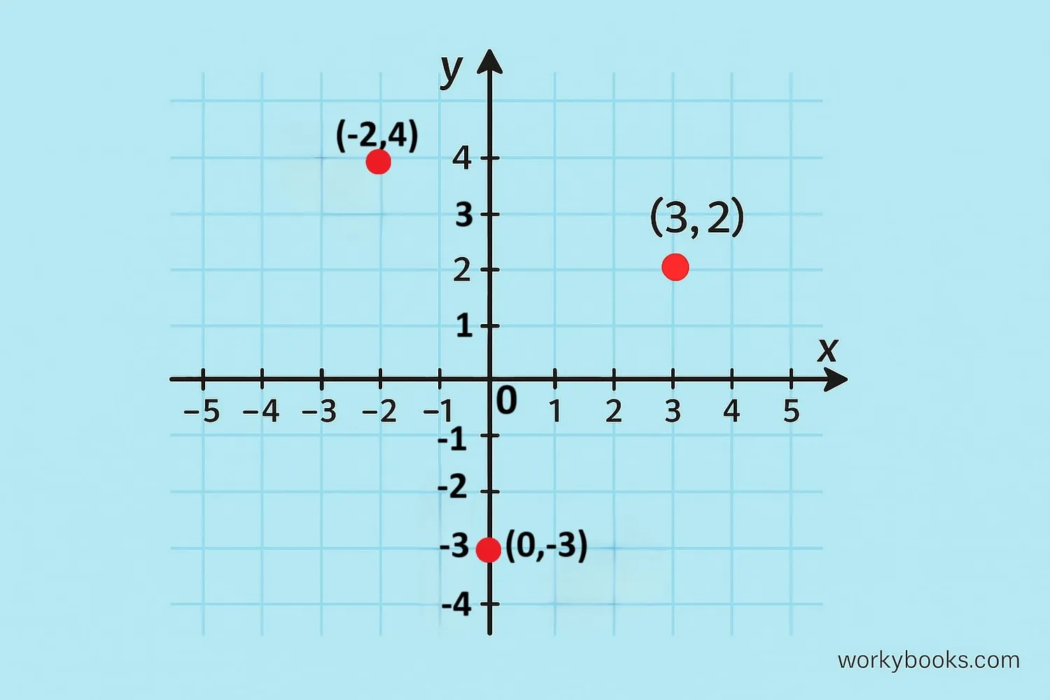
Try It: Locate the Point (3, 2)
To find (3,2): Move 3 units right and 2 units up!
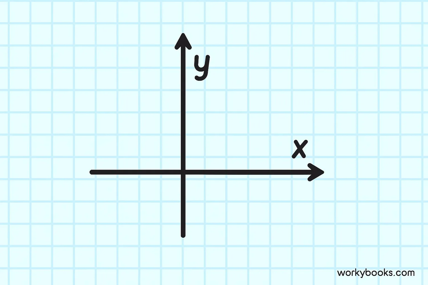
The Cartesian Coordinate Plane
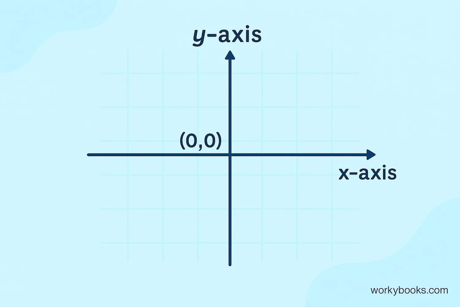
The Cartesian coordinate plane is a grid system created by mathematician René Descartes. It's made of two number lines that cross at right angles:
- X-axis: The horizontal number line (left to right)
- Y-axis: The vertical number line (up and down)
- Origin: The center point where the axes cross (0,0)
The plane is divided into four quadrants:
- Quadrant I: Both x and y positive (top-right)
- Quadrant II: x negative, y positive (top-left)
- Quadrant III: Both x and y negative (bottom-left)
- Quadrant IV: x positive, y negative (bottom-right)
The Cartesian plane helps us graph equations, plot points, and visualize mathematical relationships. It's like a map for math!
Remember
In Quadrant I, both coordinates are positive. As you move counter-clockwise, the signs change!
Real-World Coordinate Examples
Coordinates aren't just for math class! We use them every day in many ways:
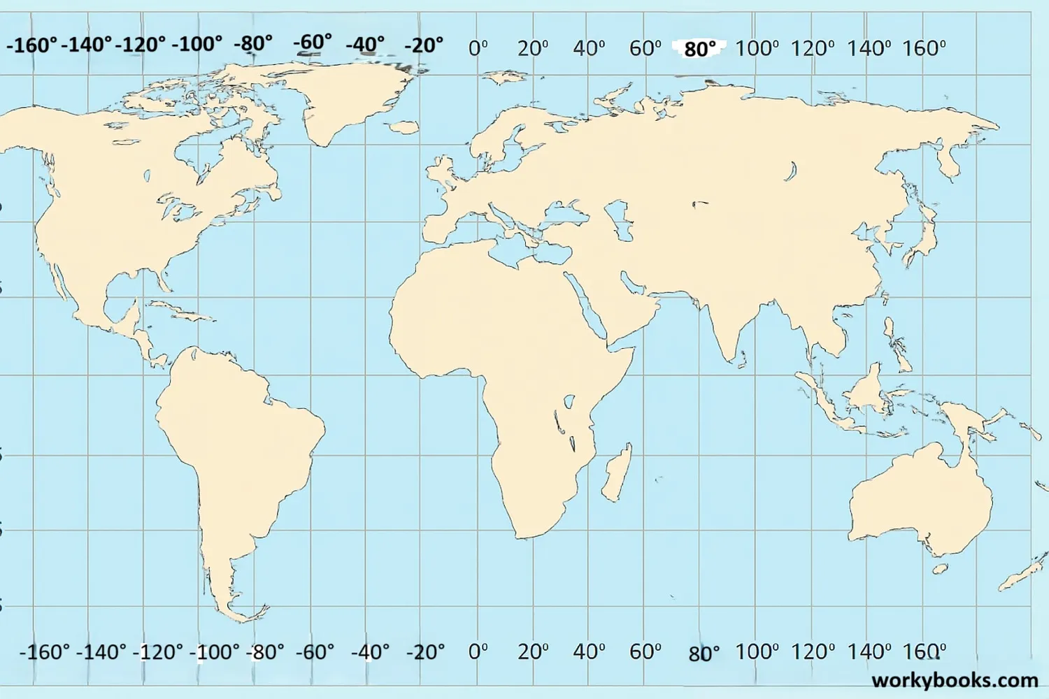
GPS Coordinates: Your phone's map app uses coordinates to show your location. GPS coordinates have two parts:
- Latitude: Measures north-south position (like the y-coordinate)
- Longitude: Measures east-west position (like the x-coordinate)
Other examples include:
- Chess boards (each square has coordinates like A4 or G7)
- Battleship game (players call coordinates to target ships)
- Seating charts (row 5, seat 12)
- Video game maps (character positions)
- Architecture and construction (precise measurements)
Next time you use a map app to find directions, remember you're using coordinates!
Fun Fact
The White House is located at approximately 38.8977° N (latitude), 77.0365° W (longitude).
Coordinates Practice Quiz
Test your knowledge with this 5-question quiz. Choose the correct answer for each question.
Frequently Asked Questions
Here are answers to common questions about coordinates:
Coordinate Trivia
Discover interesting facts about coordinate systems:
Descartes' Discovery
The Cartesian coordinate system is named after French mathematician René Descartes. Legend says he got the idea while watching a fly walk across his ceiling and realized he could describe its position with numbers!
GPS Precision
Modern GPS systems can determine your position on Earth with an accuracy of about 3-5 meters. Military GPS systems can be accurate to within 30 centimeters!
Space Coordinates
Astronomers use a special coordinate system to map the night sky called the celestial coordinate system. It works like latitude and longitude but for stars and galaxies!
Largest Coordinate System
The largest coordinate system ever used is for mapping the observable universe. Astronomers measure galaxy positions in coordinates that span over 93 billion light-years!
