
Air Masses - Definition, Examples, Quiz, FAQ, Trivia
Discover how huge bodies of air affect our weather
What is an Air Mass?
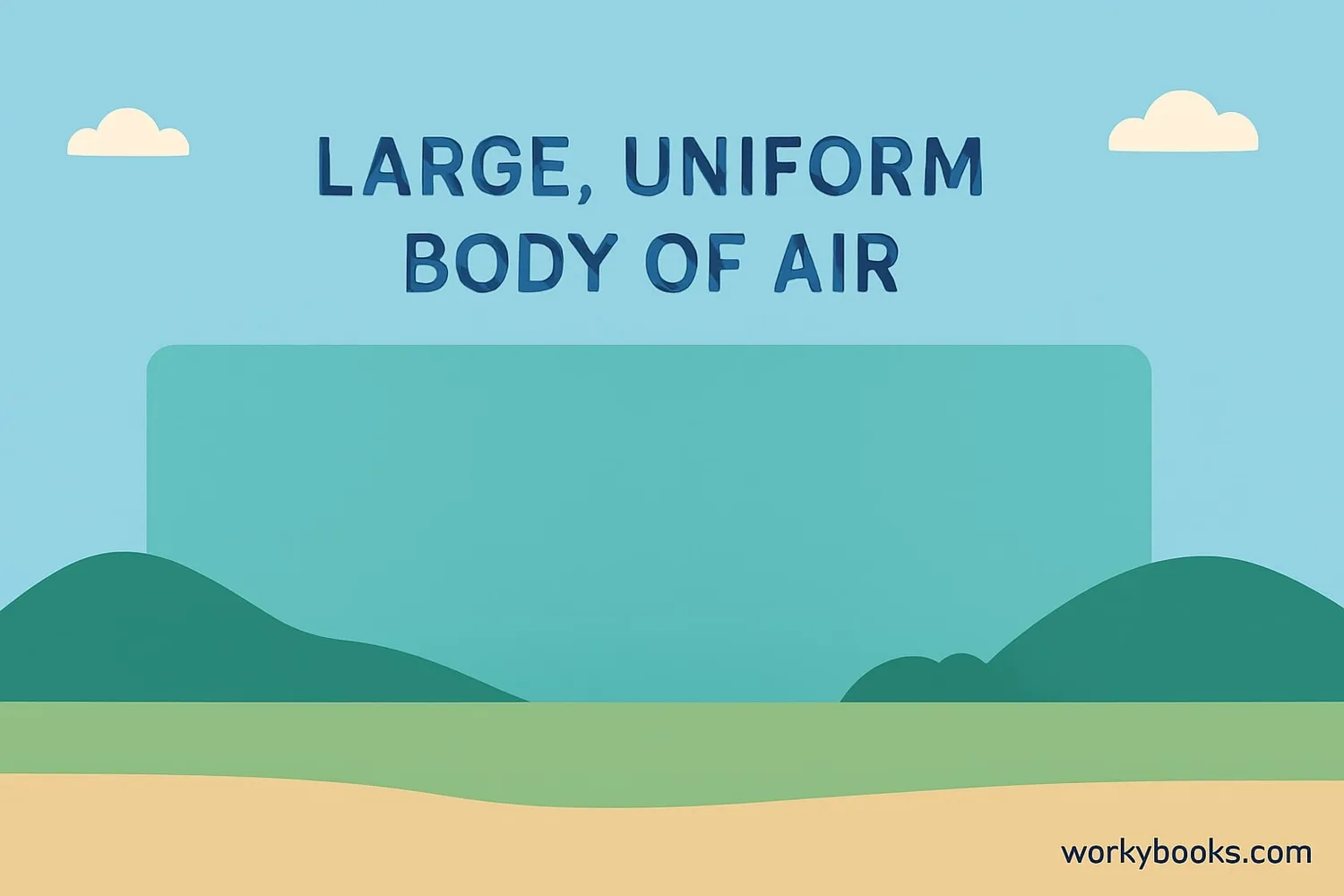
An air mass is a huge body of air that has similar temperature and humidity throughout. Imagine a giant bubble of air that can be as big as a country or even a continent! These air masses form over particular regions called source regions and then move to other areas, bringing their weather characteristics with them.
Air masses are important because they help create our weather. When different air masses meet, they can cause rain, storms, or changes in temperature. Meteorologists study air masses to predict what kind of weather we might have in the coming days.
Weather Fact!
An average air mass can be 1,000 miles across and several miles thick!
Types of Air Masses
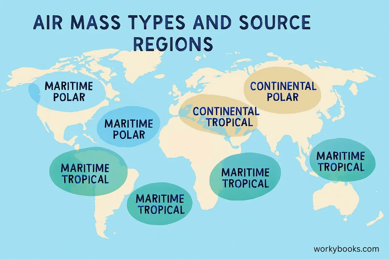
Air masses are classified based on two things: where they form (over land or water) and the temperature of that region. This gives us four main types of air masses:
Cold and dry air that forms over land in polar regions. Brings cold, clear weather.
Cool and moist air that forms over cold oceans. Brings cloudy, damp weather.
Hot and dry air that forms over deserts. Brings hot, dry weather.
Warm and moist air that forms over warm oceans. Brings warm, humid weather and rain.
There are also special types like Arctic air masses (extremely cold) and Equatorial air masses (very warm and humid). Each type brings its own kind of weather when it moves into an area.
How Air Masses Form
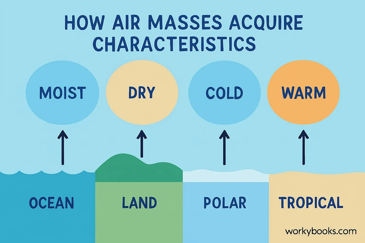
Air masses form when air stays over a large area of land or water for several days or weeks. During this time, the air takes on the temperature and humidity characteristics of the surface below. This process is called source region conditioning.
Stable Air
Air remains over a large area for days or weeks
Surface Influence
Air takes on temperature and moisture from the surface
Uniform Properties
The air develops similar characteristics throughout
Movement
Global winds move the air mass to new locations
Formation Time
It takes about 3-7 days for air to fully take on the characteristics of its source region and become a defined air mass.
Air Mass Movement & Weather Fronts
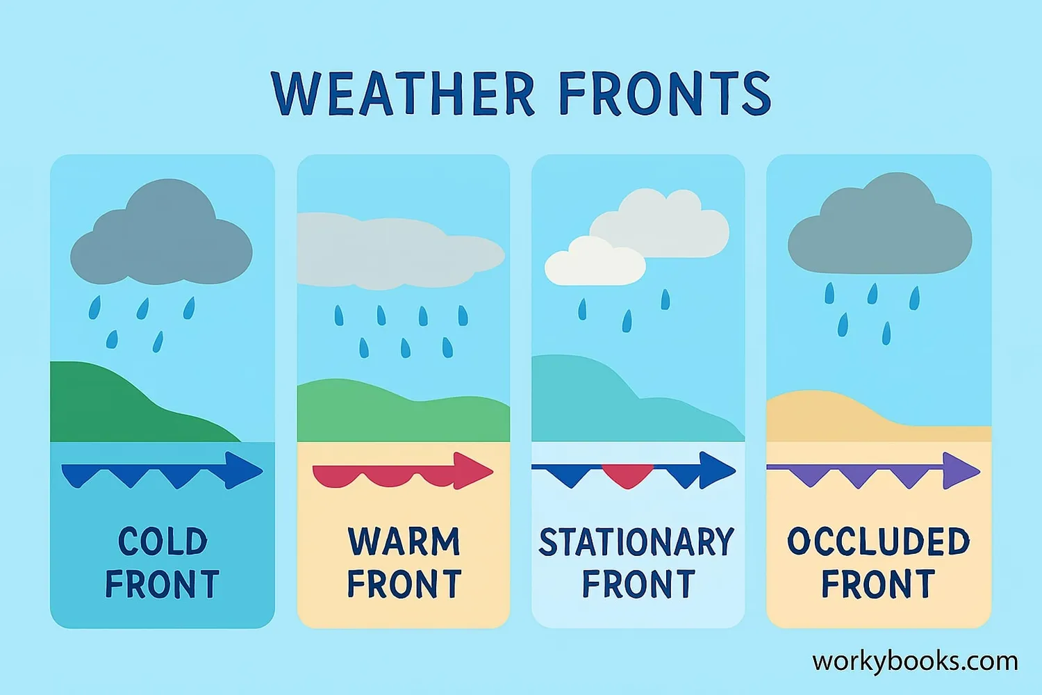
Air masses don't stay in one place - they move! Global wind patterns push air masses across the Earth's surface. When two different air masses meet, they form a boundary called a weather front. Fronts are where most weather changes happen.
Cold Front
Cold air pushes under warm air, causing storms and cooler temperatures
Warm Front
Warm air slides over cold air, bringing gentle rain followed by warmer weather
Stationary Front
Air masses stop moving, causing prolonged cloudy, rainy weather
Occluded Front
A complex front where a cold front catches up to a warm front
Fronts are shown on weather maps with special symbols. Cold fronts have blue triangles, warm fronts have red semicircles, stationary fronts have alternating triangles and semicircles, and occluded fronts have purple triangles and semicircles.
Air Mass Quiz
Test your knowledge about air masses with this quiz! Answer all 5 questions to see how much you've learned.
Frequently Asked Questions
Here are answers to common questions about air masses:
Air Mass Trivia
Discover some fascinating facts about air masses:
Massive Size
The largest air masses can cover more than 1 million square miles - that's bigger than the country of India!
Slow Movers
Air masses typically move at about 20-40 miles per hour - slower than a car on the highway but fast enough to change weather across continents in a few days.
Historical Discovery
The concept of air masses was developed in the 1920s by Norwegian meteorologists who needed to understand why World War I weather forecasts were often wrong.
Extreme Temperatures
The temperature difference between a continental polar air mass and a maritime tropical air mass can be more than 100°F (56°C)!
