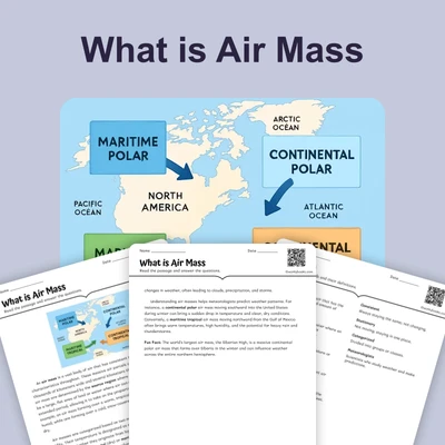
Air Masses and Weather
Interactive passage with audio narration, comprehension questions, and printable PDF.
By completing this purchase you agree to our Terms of Use and Privacy Policy. Your subscription renews automatically until you cancel. You can cancel anytime from your account settings. All sales are final and non-refundable. Digital content is available for download in your account immediately upon purchase.
What's included
Air Masses and Weather preview and details
About this printable Air Masses and Weather science reading passage, NGSS-aligned (Grade 6)
Sample passage and quiz from Air Masses and Weather
Reading passage and comprehension quiz preview
Air Masses and Weather
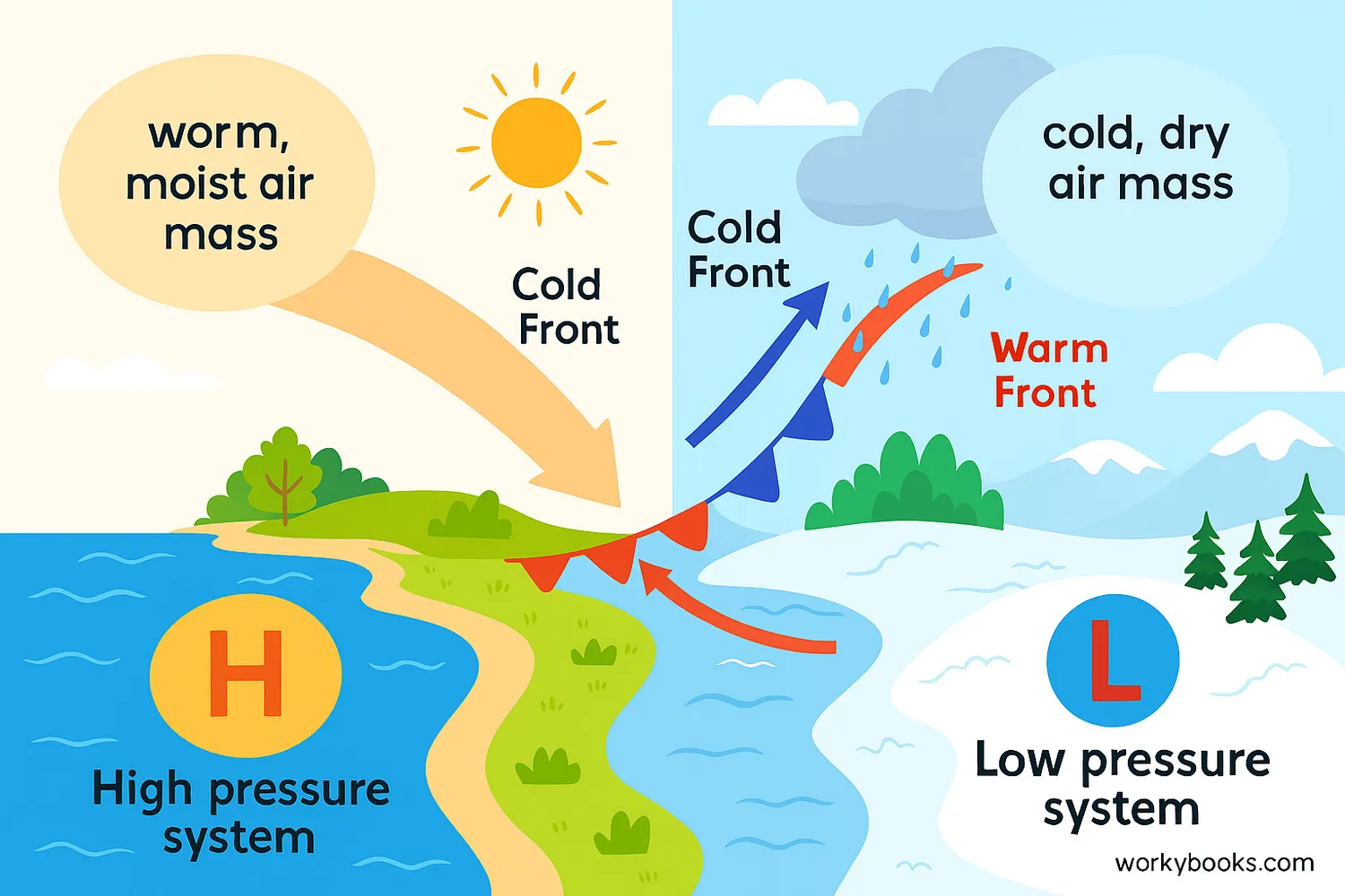
Have you ever wondered why the weather changes so much? One day it's sunny and warm, and the next it's cloudy and rainy. These changes are often caused by air masses. An air mass is a huge body of air that has similar temperature and moisture throughout. Imagine a giant bubble of air covering thousands of square miles!
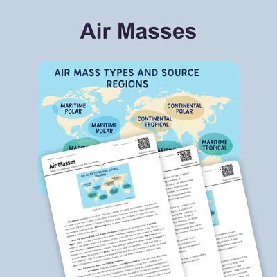
Air masses form over specific regions on Earth. For example, an air mass forming over cold land near the North Pole would be a cold, dry air mass. One forming over warm ocean waters near the equator would be a warm, moist air mass. As these air masses move, they bring their temperature and moisture characteristics with them. This movement is a key part of our planet's weather patterns.
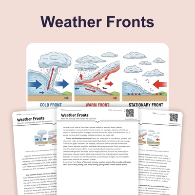
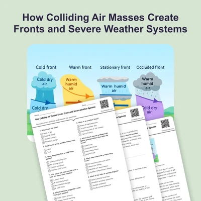
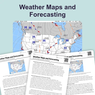
When two different air masses meet, they don't easily mix. Instead, they form a boundary called a front. Think of it like two different liquids that don't mix, like oil and water. The type of front that forms depends on how the air masses interact. A cold front happens when a cold air mass pushes into a warm air mass. The cold air, being denser, slides under the warm air, forcing it to rise. This often leads to sudden, strong storms, heavy rain, and cooler temperatures after the front passes. A warm front occurs when a warm air mass moves over a cold air mass. The warm air gently rises over the colder air, leading to widespread, steady rain or snow that can last for several hours, followed by warmer temperatures.
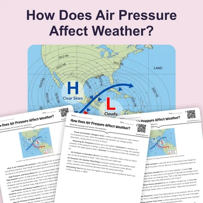
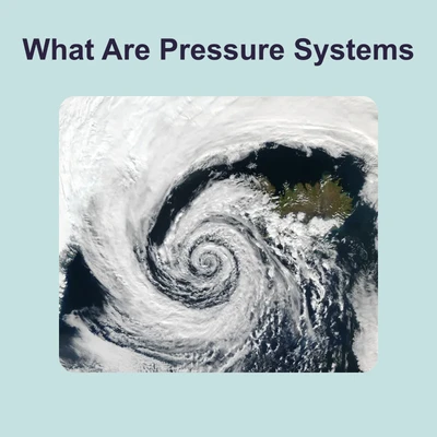
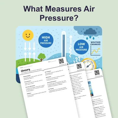
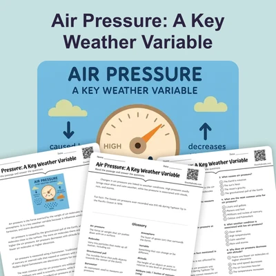
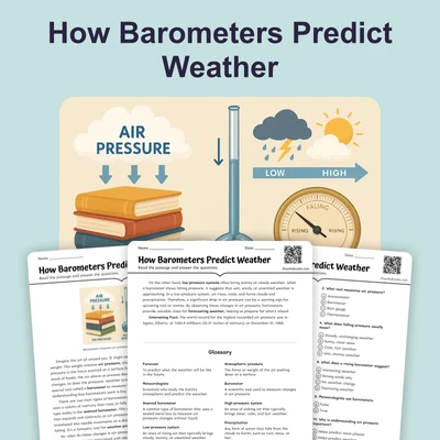
Another important factor in weather changes is atmospheric pressure. Air pressure is the weight of the air pressing down on Earth's surface. High-pressure systems usually bring clear skies and calm weather. This is because the air in a high-pressure system sinks, warming up as it descends and preventing clouds from forming. Low-pressure systems, on the other hand, are often associated with cloudy, rainy, or stormy weather. In a low-pressure system, air rises, cools, and forms clouds and precipitation. The constant interaction and movement of these air masses and pressure systems are what create the fascinating and ever-changing weather conditions we experience every day.
Interesting Fact: The fastest recorded change in temperature happened in Spearfish, South Dakota, where the temperature rose 49 degrees Fahrenheit (from -4°F to 45°F) in just two minutes due to a fast-moving chinook wind!
Comprehension quiz (10 questions)
1. What is an air mass?
2. What is the boundary between two air masses called?
3. Which type of front often brings sudden, strong storms?
4. What kind of weather do high-pressure systems usually bring?
5. Why do air masses not easily mix when they meet?
6. What happens to air in a low-pressure system?
7. Warm fronts often lead to widespread, steady rain.
8. If a cold, dry air mass moves into your area, what weather might you expect?
9. If you see large, tall clouds forming rapidly, which type of front is likely approaching?
10. What does 'atmospheric pressure' mean in the passage?
Perfect for the way you teach
- Build comprehension skills
- Auto-graded quiz
- Differentiated reading
- Read together at home
- Improve fluency
- Quiet reading time
- Reading curriculum support
- Independent practice
- Track Lexile growth