
World Climate Zones - Definition, Examples, Quiz, FAQ, Trivia
Discover how Earth's climates are organized into different zones and regions
What Are Climate Zones?
Climate zones are areas of the world with similar weather patterns, temperatures, and precipitation. Scientists divide the Earth into different climate zones to help us understand and study weather patterns across the planet.
Think of climate as the average weather conditions in an area over a long period of time (usually 30 years or more). While weather can change daily, climate describes what you can generally expect in a particular region.
Climate zones are important because they help us understand what plants and animals can live in different areas, what types of agriculture are possible, and how people adapt to their environments.
Climate Fact!
The word "climate" comes from the Greek word "klima" which means inclination, referring to how the sun's angle affects different regions.
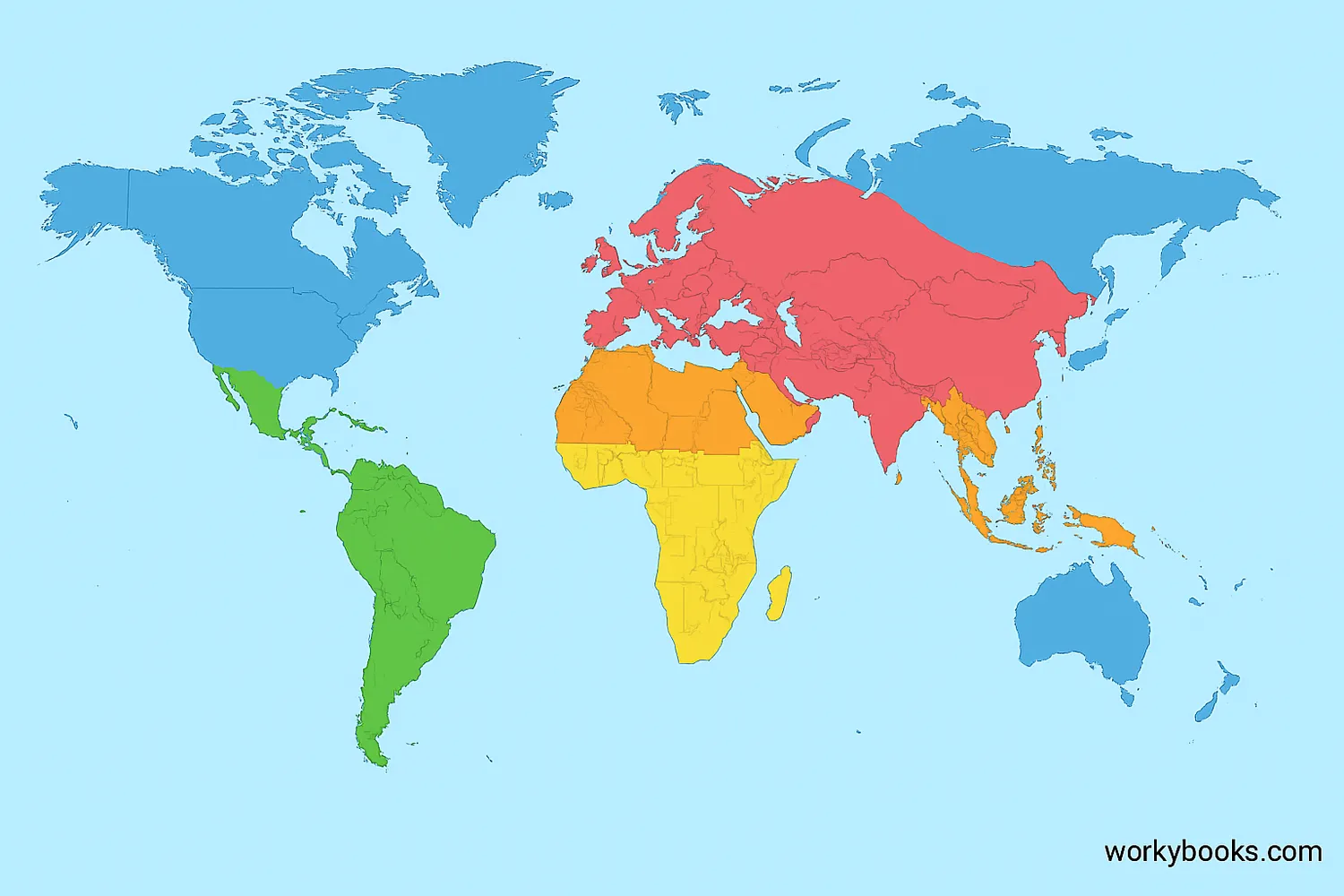
Major Climate Types
Scientists generally recognize five major climate types. Each has distinct characteristics that affect the plants, animals, and human activities in that region:
Tropical Climate
Warm all year with high rainfall. Found near the equator.
Dry Climate
Little rainfall, can be hot or cold. Includes deserts and steppes.
Temperate Climate
Moderate temperatures with distinct seasons. Four seasons common.
Continental Climate
Found in interior continents with large temperature variations.
Polar Climate
Cold all year with very little precipitation. Ice and tundra.
| Climate Type | Temperature | Precipitation | Example Regions |
|---|---|---|---|
| Tropical (A) | Warm all year (≥18°C) | High rainfall | Amazon Basin, Congo Basin, Indonesia |
| Dry (B) | Varies (hot or cold) | Very low | Sahara Desert, Arabian Desert, Australian Outback |
| Temperate (C) | Mild winters | Moderate, varies by season | Mediterranean, Eastern USA, Southern Australia |
| Continental (D) | Cold winters, warm summers | Moderate, some summer rain | Northern USA, Canada, Russia, Northern China |
| Polar (E) | Cold all year (≤10°C in warmest month) | Very low, often snow | Antarctica, Arctic, Northern Canada |
Did You Know?
Some climate classification systems also include Highland (H) climates for mountainous areas where elevation creates unique weather patterns.
Köppen Climate Classification
The Köppen climate classification system is the most widely used method for classifying the world's climates. It was developed by German climatologist Wladimir Köppen in 1884 and has been updated several times since.
This system uses letters to identify different climate types based on temperature and precipitation patterns:
First Letter
Main climate group (A, B, C, D, E)
Second Letter
Precipitation pattern (f, m, w, s)
Third Letter
Temperature pattern (a, b, c, d, h, k)
For example, "Af" represents a tropical rainforest climate (A = tropical, f = precipitation year-round), while "BSk" represents a cold semi-arid climate (B = dry, S = steppe, k = cold).
The Köppen system helps scientists compare climates across different regions and understand how climate change might affect different parts of the world.
Science Connection
Climate classification helps scientists track changes in climate patterns over time and predict how ecosystems might respond to global warming.
Climate Zones Quiz
Test your knowledge about world climate zones with this quiz. Answer all 5 questions to see how much you've learned.
Frequently Asked Questions
Here are answers to some common questions about climate zones:
Climate Zones Trivia
Discover some fascinating facts about world climate zones!
Extreme Temperatures
The highest temperature ever recorded was 56.7°C (134°F) in Death Valley, California (dry climate), while the coldest was -89.2°C (-128.6°F) in Antarctica (polar climate).
Rainfall Extremes
Mawsynram, India (tropical climate) receives about 11,871 mm (467 inches) of rain annually, making it the wettest place on Earth, while parts of the Atacama Desert (dry climate) may not see rain for years.
Climate Change Impact
Scientists estimate that climate zones are shifting poleward at about 35 miles per decade due to global warming, affecting ecosystems and agriculture.
Microclimates
Small areas can have unique microclimates different from their surrounding region. Cities often create "urban heat islands" that are warmer than nearby rural areas.
