Types of Maps and Their Uses — Reading Comprehension
Premium Resource
Grades
- 5
- 6
- 7
- 8
Standards
- MS-ESS2-2
- MS-ESS3-2
- MS-ETS1-1
- MS-ETS1-4
- SP2
- SP4
PRINT+DIGITAL RESOURCE
This learning resource is available in interactive and printable formats. The interactive worksheet can be played online and assigned to students. The Printable PDF version can be downloaded and printed for completion by hand.
About This Reader
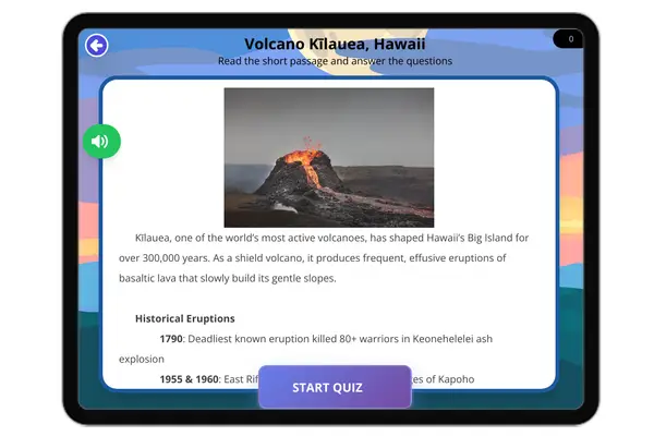
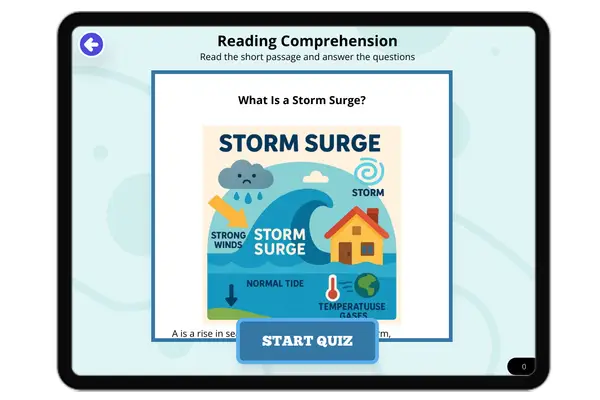
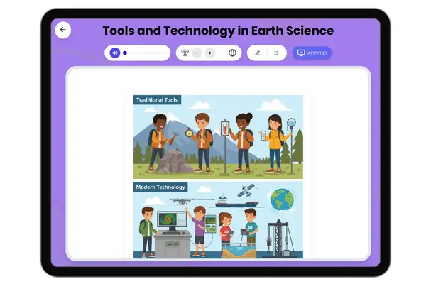
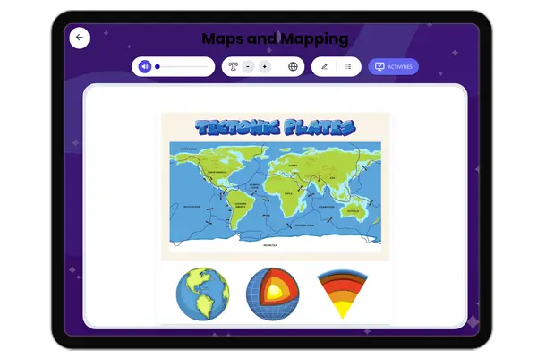
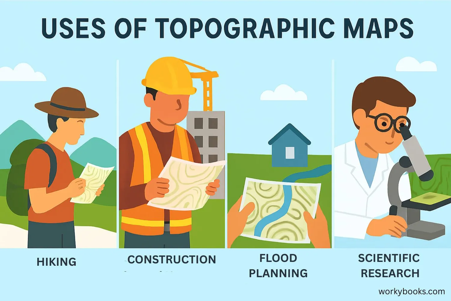
This engaging science passage for grades 6-8 introduces students to the various types of maps and their uses, supporting NGSS standards for scientific practices and earth science concepts. Students will learn to distinguish between political, physical, topographic, geologic, bathymetric, weather, climate, hazard, land use, and soil maps. The passage explains underlying mechanisms, such as how map projections influence what we see and how choosing the right map depends on scientific questions. Real-world examples connect map types to environmental studies, urban planning, and disaster preparedness. Integrated glossary terms, Spanish translations, a comprehension quiz, writing prompts, and graphic organizers reinforce key vocabulary and concepts. This resource is ideal for classroom, remote, or audio-integrated science learning and supports students in developing spatial reasoning and analysis skills crucial for scientific inquiry.
Perfect For:
👩🏫 Teachers
- • Reading comprehension practice
- • Auto-graded assessments
- • Literacy skill development
👨👩👧👦 Parents
- • Reading practice at home
- • Comprehension improvement
- • Educational reading time
🏠 Homeschoolers
- • Reading curriculum support
- • Independent reading practice
- • Progress monitoring
Reading Features:
📖
Reading Passage
Engaging fiction or nonfiction text
❓
Comprehension Quiz
Auto-graded questions
📊
Instant Feedback
Immediate results and scoring
📄
Printable Version
Download for offline reading
🔊
Read Aloud
Voice-over with word highlighting