
WorksheetPremium

Finding Mountain Patterns on a Map

Interactive worksheet with auto-grading, instant feedback, and printable PDF.

No ratings yet
Grade 4ScienceInteractive · Printable
Aligned toNGSS 4-ESS2-2CCSS.RI.4.7
Just this resource
$1.50
One-time purchase
Best value
Unlock everything
$49.99/yr
10,000+ resources, AI tools

By completing this purchase you agree to our Terms of Use and Privacy Policy. Your subscription renews automatically until you cancel. You can cancel anytime from your account settings. All sales are final and non-refundable. Digital content is available for download in your account immediately upon purchase.

Unlock above to use these actions

What's included

2 worksheet pages
Auto-graded
2 Common Core standards
Assign to a class
Classroom-ready
Printable PDF

Finding Mountain Patterns on a Map preview and details

About this worksheet

Finding Mountain Patterns on a Map: Grade 4 Science Worksheet

Are mountains spread evenly over Earth, or do they follow a pattern? Students read a world map made from real NOAA elevation data, where striped areas show high land. They find three famous mountain ranges and discover that high land lines up in long bands.

Key Science Vocabulary

  • map key: the box that tells what each symbol on a map means
  • mountain range: a long chain of mountains
  • elevation: how high land is above the sea
  • pattern: something that lines up or repeats
  • continent: one of Earth’s seven large areas of land

What Students Do

  • Read a short teach box on map keys and mountain ranges
  • Part A: find each range on the map and circle its continent
  • Part B: three pattern questions about which coast, what shape, and which continent has no high land
  • Visual answer key with the ranges outlined in red

Standards

NGSS 4-ESS2-2: Analyze and interpret data from maps to describe patterns of Earth’s features. Also supports CCSS RI.4.7 (interpret information shown visually, such as maps and tables).

Where It Fits in Grades 3 to 8

Earlier grades name landforms like mountains and valleys. Grade 4 reads maps to find patterns in where those landforms are. In middle school, students explain these patterns with plate tectonics.

Teaching Tip

Have students trace the Andes from north to south with a finger before they answer, then ask where else they see a long band. Takes 8 to 10 minutes.

Published by Workybooks
Who it's for

Perfect for the way you teach

Teachers
  • Assign in one click
  • Track progress per student
  • Auto-graded results
Parents
  • Practice at home
  • Print or do on-screen
  • Build skill mastery
Homeschoolers
  • Standards-aligned
  • Self-paced
  • Ready-to-use today
Topics

Reviews & Ratings

No reviews yet. Be the first to share your experience!

Related worksheets

19 more
Worksheet
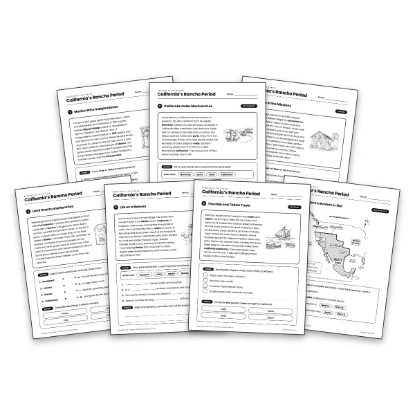
California's Rancho Period worksheet for grade 4
Grade 4

California's Rancho Period

history · CA HSS 4.2.7+4

$4.00
Worksheet
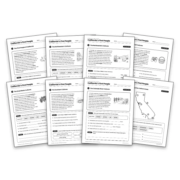
California's First People worksheet for grade 4
Grade 4

California's First People

geography · CA HSS 4.2.1+3

$5.00
Worksheet
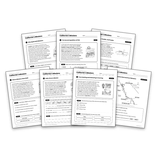
California's Missions worksheet for grade 4
Grade 4

California's Missions

history · CA HSS 4.2.3+6

$5.00
Worksheet
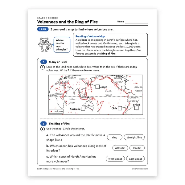
Volcanoes and the Ring of Fire worksheet for grade 4
Grade 4

Volcanoes and the Ring of Fire

earth and space science · NGSS 4-ESS2-2+1

$1.50
Worksheet
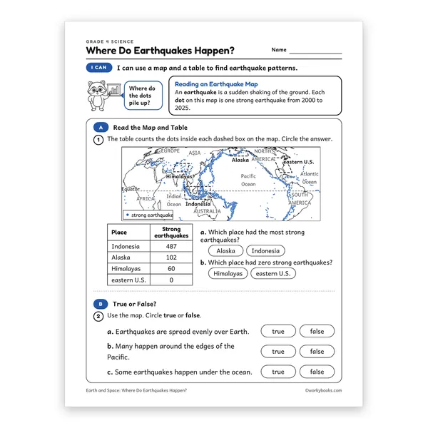
Where Do Earthquakes Happen? worksheet for grade 4
Grade 4

Where Do Earthquakes Happen?

earth and space science · NGSS 4-ESS2-2+1

$1.50
Worksheet
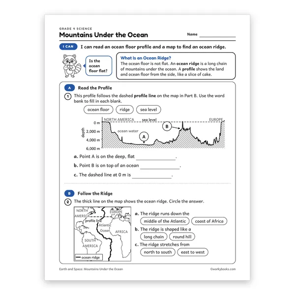
Mountains Under the Ocean worksheet for grade 4
Grade 4

Mountains Under the Ocean

earth and space science · NGSS 4-ESS2-2+1

$1.50
Worksheet
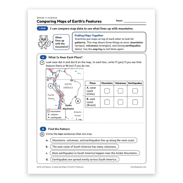
Comparing Maps of Earth’s Features worksheet for grade 4
Grade 4

Comparing Maps of Earth’s Features

earth and space science · NGSS 4-ESS2-2+1

$1.50
Passage
Map Symbols reading passage for grades 3 to 5
Grades 3–5

Map Symbols

earth and space science · NGSS 4-ESS2-2

$1.50
Passage
Compass Rose and Scale reading passage for grades 3 to 5
Grades 3–5

Compass Rose and Scale

earth and space science · NGSS 4-ESS2-2

$1.50
Passage
What Are Maps reading passage for grades 3 to 5
Grades 3–5

What Are Maps

earth and space science · NGSS 4-ESS2-2

$1.50
Passage
Canyons and Valleys reading passage for grades 3 to 5
Grades 3–5

Canyons and Valleys

earth and space science · NGSS 4-ESS2-2

$1.50
Passage
What Are Topographic Maps reading passage for grades 3 to 5
Grades 3–5

What Are Topographic Maps

earth and space science · NGSS 4-ESS2-2

$1.50
Passage
What Are Ocean Floor Maps reading passage for grades 3 to 5
Grades 3–5

What Are Ocean Floor Maps

earth and space science · NGSS 4-ESS2-2

$1.50
Passage
How to Read Data from Maps reading passage for grades 3 to 5
Grades 3–5

How to Read Data from Maps

earth and space science · NGSS 4-ESS2-2

$1.50
Passage
Maps Show Patterns reading passage for grades 3 to 5
Grades 3–5

Maps Show Patterns

earth and space science · NGSS 4-ESS2-2+1

$1.50
Passage
Earth's Land and Water reading passage for grades 3 to 5
Grades 3–5

Earth's Land and Water

earth and space science · NGSS 4-ESS2-2+1

$1.50
Passage
What Are Mountains reading passage for grades 3 to 5
Grades 3–5

What Are Mountains

earth and space science · NGSS 4-ESS2-2+1

Free
Passage
Mountain Patterns on Earth reading passage for grades 3 to 5
Grades 3–5

Mountain Patterns on Earth

earth and space science · NGSS 4-ESS2-2

$1.50
Passage
Plains and Plateaus reading passage for grades 3 to 5
Grades 3–5

Plains and Plateaus

earth and space science · NGSS 4-ESS2-2

$1.50
Copyright © 2026 Workybooks Classroom. Made with ♥ in California.