Reading Passage

What Are Mountains

Interactive passage with audio narration, comprehension questions, and printable PDF.

No ratings yet|
2
Grades 3–5ScienceElaReadingEnglish · SpanishInteractive · Printable
Aligned toNGSS 4-ESS2-2ESS2.B

What's included

Reading passage
Audio narration
Comprehension quiz
Writing activity
Glossary & flashcards
Differentiated version
Spanish translation

What Are Mountains preview and details

About this printable What Are Mountains science reading passage, NGSS-aligned (Grades 3-5)

This 250-word reading passage introduces fourth-grade students to mountains as one of Earth's most dramatic landforms. Aligned to NGSS standard 4-ESS2-2 and the Disciplinary Core Idea ESS2.B, the passage explains that mountains are large landforms rising high above surrounding land. Students learn about the three main parts of mountains: peaks (tops), slopes (sides), and bases (bottoms). The passage describes different types of mountains, from tall rocky peaks with snow to rounded mountains covered with trees. It explains how mountains affect weather patterns, river formation, and human settlement. The passage includes Mount Everest as a real-world example of Earth's tallest mountain. Audio-integrated features support diverse learners. Activities include multiple-choice questions testing recall and comprehension, writing prompts requiring students to explain concepts and make connections, and graphic organizers for comparing mountain types and analyzing how mountains affect their surroundings. This foundational passage prepares students for hands-on investigations about landforms and Earth's surface processes.
Written by Workybooks TeamPublished by Workybooks
Preview

Sample passage and quiz from What Are Mountains

Reading passage and comprehension quiz preview

What Are Mountains
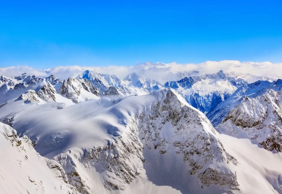
Breathtaking view of the snow-covered peaks in the Swiss Alps under a clear blue sky.

"Breathtaking view of the snow-covered peaks in the Swiss Alps under a clear blue sky." Image Credit Denis Linine / Pexels.

Mountains are large landforms that rise high above the surrounding land. A landform is a natural feature on Earth's surface. Mountains are important because they affect weather, create rivers, and influence where people can live and travel.

Every mountain has three main parts. The peak is the highest point at the top of the mountain. The slopes are the sides of the mountain that go up and down. The base is the bottom part where the mountain meets the flatter land around it. Think of a mountain like a triangle—the point at the top is the peak, the slanted sides are the slopes, and the flat bottom edge is the base.

Mountains come in different shapes and sizes. Some mountains are tall and rocky with snow on their peaks. These mountains often have steep slopes and sharp peaks. Other mountains are shorter and rounded with trees covering their slopes. The type of mountain depends on how it formed and how old it is.

Mountains affect the land around them in important ways. When warm, moist air hits a mountain, it rises and cools, causing rain or snow on one side. This is why one side of a mountain is often wetter than the other side. Mountains also create rivers because melting snow and rain flow down the slopes. The tallest mountain on Earth is Mount Everest, which stands 29,032 feet tall.

Interesting Fact: Mount Everest grows about 4 millimeters taller every year because the plates that form Earth's crust are still pushing together!

Comprehension quiz (8 questions)

1. What is a landform?

A natural feature on Earth's surface
A man-made building or structure
A type of weather pattern
A kind of plant or tree

2. What are the three main mountain parts?

Top, middle, and bottom sections
Peak, slopes, and base
Snow, rocks, and trees
North, south, and east sides

3. How tall is Mount Everest?

15,000 feet tall
20,500 feet tall
29,032 feet tall
35,000 feet tall

4. Why does one mountain side get wetter?

Trees hold more water there
Warm air rises, cools, and rains
Rivers only flow on one side
Snow only falls on steep slopes

5. How do mountains create rivers?

Rivers flow up from underground springs
Rain and snow flow down slopes
Clouds drop water at the base
Lakes overflow from the peak

6. What affects how a mountain looks?

The weather during each season
How many people climb it yearly
How it formed and its age
The animals living on its slopes

7. Mount Everest grows taller every year.

True
False

8. What does 'peak' mean in this passage?

The bottom of the mountain
The sides of the mountain
The highest point of the mountain
The snow on the mountain
Who it's for

Perfect for the way you teach

Teachers
  • Build comprehension skills
  • Auto-graded quiz
  • Differentiated reading
Parents
  • Read together at home
  • Improve fluency
  • Quiet reading time
Homeschoolers
  • Reading curriculum support
  • Independent practice
  • Track Lexile growth
Topics

Reviews & Ratings

No reviews yet. Be the first to share your experience!

More reading you might love

17 more
Worksheet
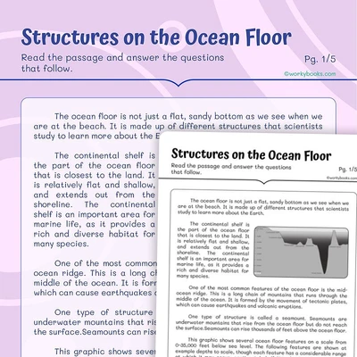
Structures on the Ocean Floor - worksheet educational content
Grades 4–5

Structures on the Ocean Floor

reading informational text · ESS2.B

Free
Passage
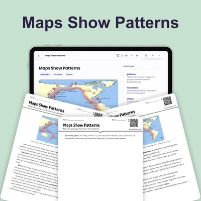
Maps Show Patterns - reading educational content
Grades 3–5

Maps Show Patterns

earth and space science · NGSS 4-ESS2-2

$1.50
Passage
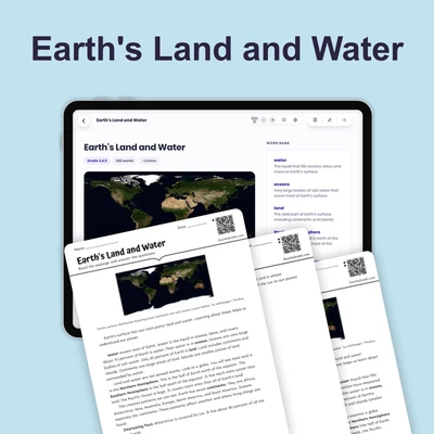
Earth's Land and Water - reading educational content
Grades 3–5

Earth's Land and Water

earth and space science · NGSS 4-ESS2-2

$1.50
Passage
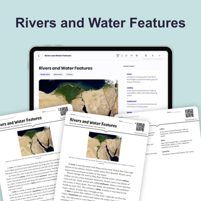
Rivers and Water Features - reading educational content
Grades 3–5

Rivers and Water Features

earth and space science · NGSS 4-ESS2-2

$1.50
Passage
Map Symbols - reading educational content
Grades 3–5

Map Symbols

earth and space science · NGSS 4-ESS2-2

$1.50
Passage
Compass Rose and Scale - reading educational content
Grades 3–5

Compass Rose and Scale

earth and space science · NGSS 4-ESS2-2

$1.50
Passage
What Are Maps - reading educational content
Grades 3–5

What Are Maps

earth and space science · NGSS 4-ESS2-2

$1.50
Passage
Canyons and Valleys - reading educational content
Grades 3–5

Canyons and Valleys

earth and space science · NGSS 4-ESS2-2

$1.50
Passage
What Are Topographic Maps - reading educational content
Grades 3–5

What Are Topographic Maps

earth and space science · NGSS 4-ESS2-2

$1.50
Passage
What Are Ocean Floor Maps - reading educational content
Grades 3–5

What Are Ocean Floor Maps

earth and space science · NGSS 4-ESS2-2

$1.50
Passage
How to Read Data from Maps - reading educational content
Grades 3–5

How to Read Data from Maps

earth and space science · NGSS 4-ESS2-2

$1.50
Passage
Mountain Patterns on Earth - reading educational content
Grades 3–5

Mountain Patterns on Earth

earth and space science · NGSS 4-ESS2-2

$1.50
Passage
Plains and Plateaus - reading educational content
Grades 3–5

Plains and Plateaus

earth and space science · NGSS 4-ESS2-2

$1.50
Passage
Volcano Patterns on Earth - reading educational content
Grades 3–5

Volcano Patterns on Earth

earth and space science · NGSS 4-ESS2-2

Free
Passage
Earthquake Patterns on Earth - reading educational content
Grades 3–5

Earthquake Patterns on Earth

earth and space science · NGSS 4-ESS2-2

$1.50
Passage
Ocean Trenches - reading educational content
Grades 3–5

Ocean Trenches

earth and space science · NGSS 4-ESS2-2

$1.50
Passage
How Earth's Features Connect - reading educational content
Grades 3–6

How Earth's Features Connect

earth and space science · NGSS 4-ESS2-2

$1.50
Copyright © 2026 Workybooks. Made with ♥ in California.