What Are Ocean Floor Maps
Interactive passage with audio narration, comprehension questions, and printable PDF.
What's included
What Are Ocean Floor Maps preview and details
About this printable What Are Ocean Floor Maps science reading passage, NGSS-aligned (Grades 3-5)
Sample passage and quiz from What Are Ocean Floor Maps
Reading passage and comprehension quiz preview
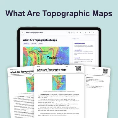
What Are Ocean Floor Maps
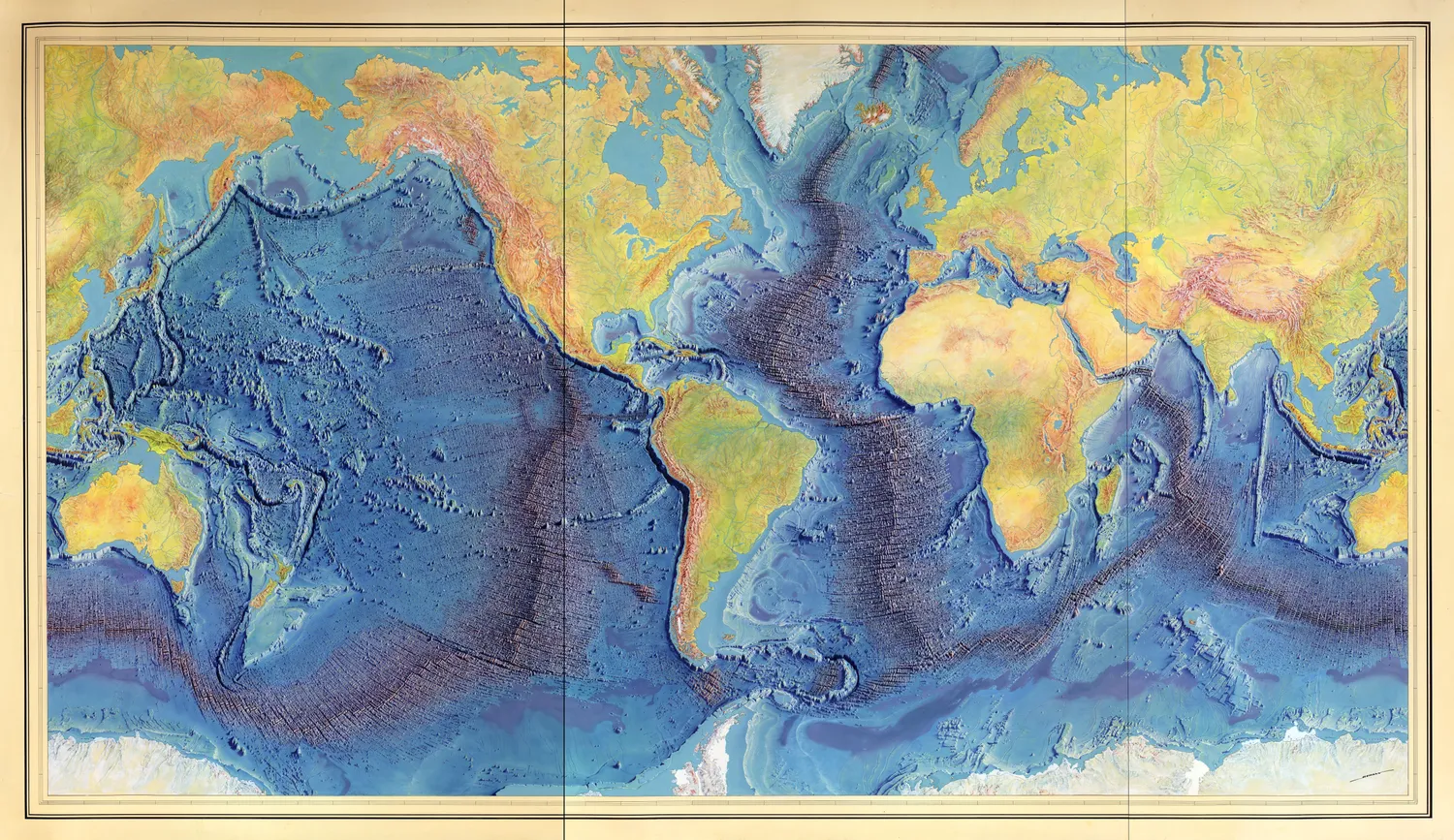
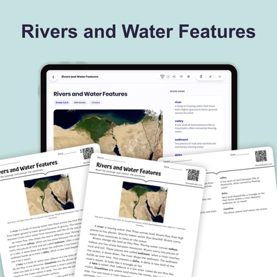
"(Manuscript painting of Heezen-Tharp World ocean floor map by Berann)" by Berann, Heinrich C., Heezen, Bruce C., Tharp, Marie. / Wikimedia Commons.
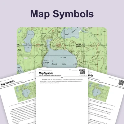
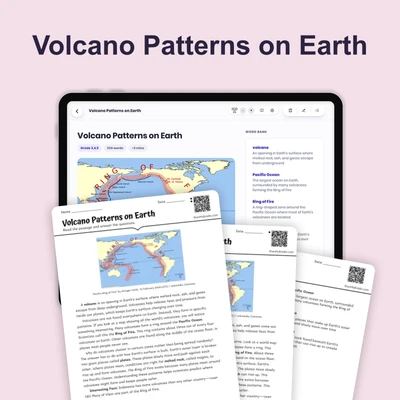
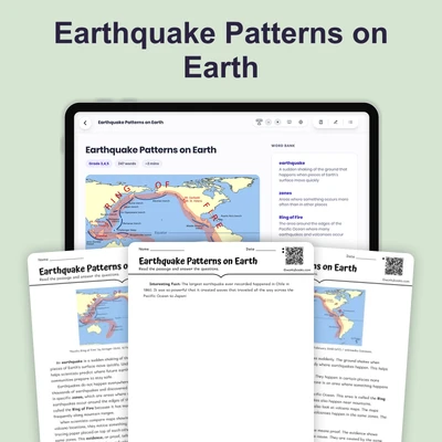
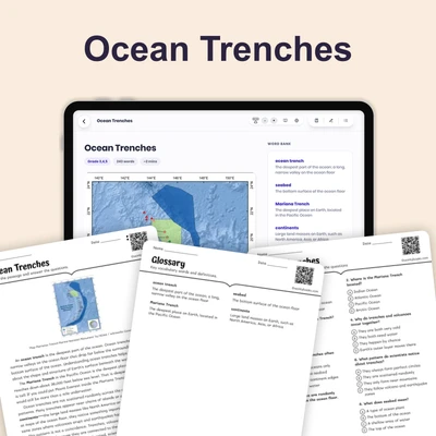
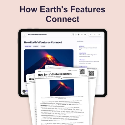
Ocean floor maps are special maps that show what the bottom of the ocean looks like. These maps are important because they help scientists understand the hidden world beneath the water. The ocean covers most of our planet, but we cannot see its bottom from the surface.
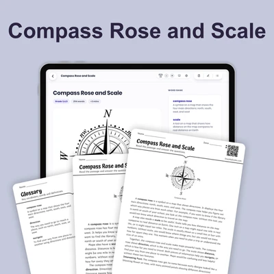
Scientists use tools called sonar and satellites to make ocean floor maps. Sonar works by sending sound waves down to the ocean floor. When the sound bounces back, it tells scientists how deep the water is and what shapes are on the bottom. This is similar to how you hear an echo in a canyon. Satellites in space also help by measuring tiny changes in the ocean's surface that show what lies below.
Ocean floor maps reveal amazing features underwater. There are tall underwater mountains called seamounts that rise from the ocean floor. Some are taller than mountains on land! Maps also show deep trenches, which are like giant canyons that drop far below the ocean floor. Between these features are flat plains that stretch for miles.
The ocean floor is not flat at all. It has features just as dramatic as those we see on land. Ocean floor maps help scientists find patterns in where trenches and underwater volcanoes are located. These patterns teach us about how Earth's surface changes over time.
Interesting Fact: The deepest part of the ocean is the Mariana Trench, which is almost 7 miles deep—deep enough to fit Mount Everest inside with room to spare!
Comprehension quiz (8 questions)
1. What do ocean floor maps show?
2. How does sonar help scientists map the ocean?
3. What are underwater mountains called?
4. Why can't we see the ocean floor directly?
5. What do patterns on ocean floor maps teach?
6. What features are found on the ocean floor?
7. The ocean floor is completely flat everywhere.
8. What does the word 'trench' mean?
Perfect for the way you teach
- Build comprehension skills
- Auto-graded quiz
- Differentiated reading
- Read together at home
- Improve fluency
- Quiet reading time
- Reading curriculum support
- Independent practice
- Track Lexile growth