Mountain Patterns on Earth
Interactive passage with audio narration, comprehension questions, and printable PDF.
What's included
Mountain Patterns on Earth preview and details
About this printable Mountain Patterns on Earth science reading passage, NGSS-aligned (Grades 3-5)
Sample passage and quiz from Mountain Patterns on Earth
Reading passage and comprehension quiz preview
Mountain Patterns on Earth
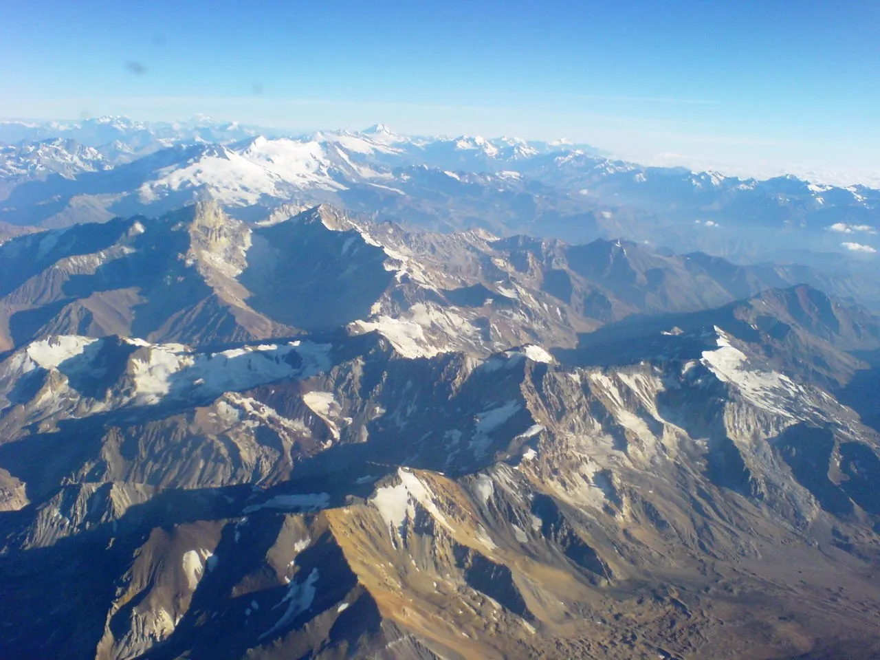
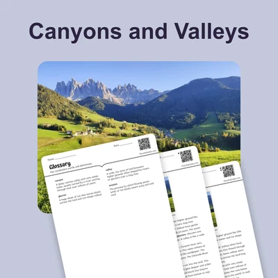
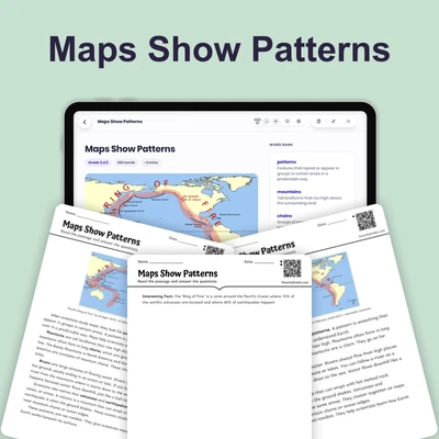
"Cordillera de los Andes" by Jorge Morales Piderit / Wikimedia Commons.
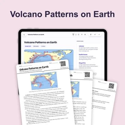
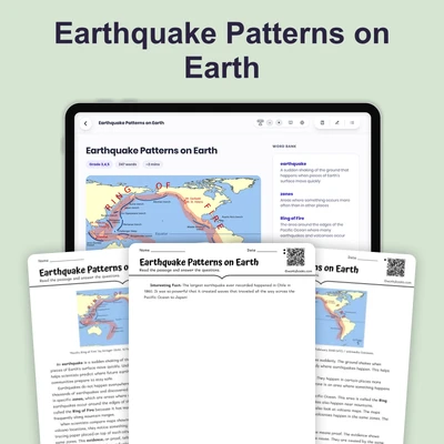
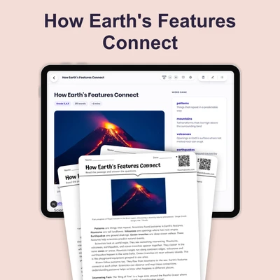
Mountains are not scattered randomly across Earth. They tend to form in long chains or ranges—groups of mountains that stretch for hundreds or thousands of miles. Understanding these patterns helps scientists predict where earthquakes and volcanoes might occur.
The Rocky Mountains stretch from Canada all the way to New Mexico. That's more than 3,000 miles! The Andes Mountains run along the entire west coast of South America, making them the longest mountain range on land. The Himalayas stretch across Asia and include Mount Everest, the tallest mountain on Earth.
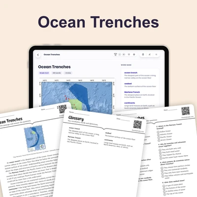
When you look at a world map, you can see that major mountain ranges follow patterns. They often run along the edges of continents—large land masses like North America, South America, and Asia. Some mountain ranges even form through the middle of ocean floors, though we cannot see them without special equipment.
Scientists have discovered that mountains tend to form where giant pieces of Earth's outer layer push together. This is why mountain ranges often appear in lines rather than circles or scattered spots. By tracing these patterns on maps, we can learn about forces deep inside our planet that shape the land we see above.
Interesting Fact: The Mid-Atlantic Ridge is a mountain range under the Atlantic Ocean that runs from the Arctic Ocean to the tip of Africa—it's longer than any mountain range on land!
Comprehension quiz (8 questions)
1. What are mountain ranges?
2. Which mountain range is the longest on land?
3. Where do mountain ranges often form?
4. Why do mountains form in lines?
5. How can studying mountain patterns help scientists?
6. What makes the Himalayas special?
7. Mountains are scattered randomly across Earth.
8. What does 'continent' mean in this passage?
Perfect for the way you teach
- Build comprehension skills
- Auto-graded quiz
- Differentiated reading
- Read together at home
- Improve fluency
- Quiet reading time
- Reading curriculum support
- Independent practice
- Track Lexile growth