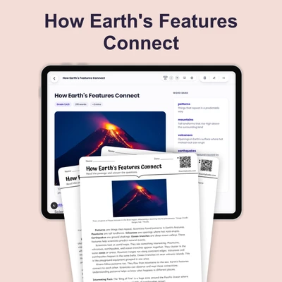
Earth's Land and Water
Interactive passage with audio narration, comprehension questions, and printable PDF.
What's included
Earth's Land and Water preview and details
About this printable Earth's Land and Water science reading passage, NGSS-aligned (Grades 3-5)
Sample passage and quiz from Earth's Land and Water
Reading passage and comprehension quiz preview
Earth's Land and Water
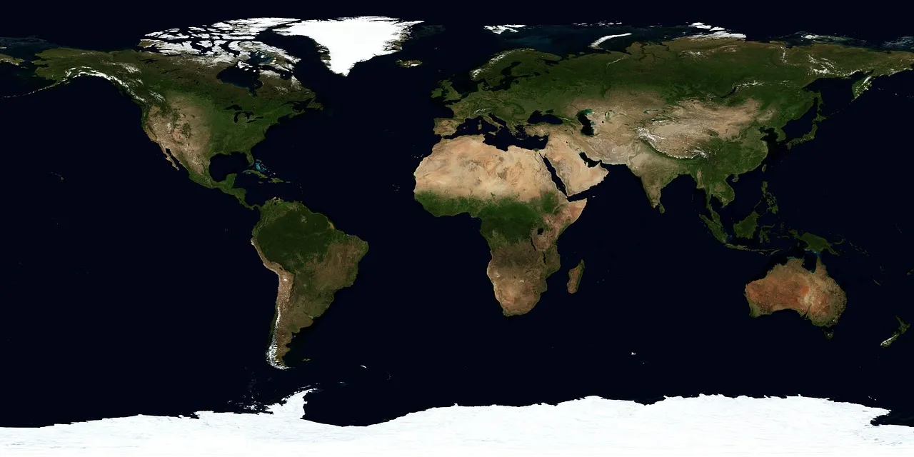
"Earth's surface distribution featuring seven continents and vast oceanic water bodies." by WikiImages / Pixabay.
Earth's surface is made up of two main types of features: land and water. Understanding how these features are spread across our planet helps us learn about Earth's systems and how they work together.
When you look at a globe or world map, you can see that water (liquid that fills oceans, lakes, and rivers) covers most of Earth's surface. Scientists have measured that about 70 percent of Earth is covered by water. Most of this water is in oceans, which are very large bodies of salt water. The remaining 30 percent of Earth's surface is land, which includes continents (large areas of land) and islands (smaller pieces of land surrounded by water).
Land and water are not spread evenly across Earth. If you examine a globe carefully, you will notice that most of the land is located in the Northern Hemisphere (the half of Earth north of the equator). The Southern Hemisphere (the half of Earth south of the equator) has much more water than land. For example, the Pacific Ocean alone covers more area than all of Earth's land combined!
This uneven distribution creates patterns we can observe. The seven continents (Africa, Antarctica, Asia, Australia, Europe, North America, and South America) are separated by oceans. These large-scale patterns affect weather, climate, and where plants, animals, and people live.
Interesting Fact: Antarctica is Earth's fifth-largest continent and is almost completely covered by ice, containing about 90 percent of all the ice on our planet!
Comprehension quiz (8 questions)
1. What percent of Earth is covered by water?
2. What are very large bodies of salt water?
3. How many continents does Earth have?
4. Why does the Northern Hemisphere look different?
5. Which ocean covers more area than land?
6. How does uneven distribution affect Earth?
7. Land and water are evenly spread on Earth.
8. What does hemisphere mean in the passage?
Perfect for the way you teach
- Build comprehension skills
- Auto-graded quiz
- Differentiated reading
- Read together at home
- Improve fluency
- Quiet reading time
- Reading curriculum support
- Independent practice
- Track Lexile growth