Countries on the Equator
Interactive passage with audio narration, comprehension questions, and printable PDF.
What's included
Countries on the Equator preview and details
About this printable Countries on the Equator reading passage (Grades 3-7)
Sample passage and quiz from Countries on the Equator
Reading passage and comprehension quiz preview
Countries on the Equator
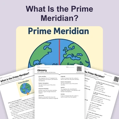
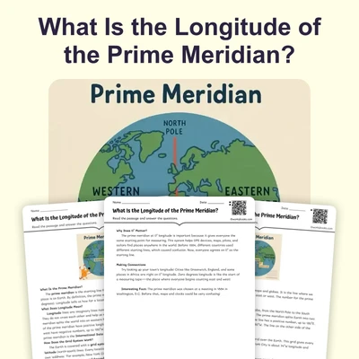
What Is the Equator?
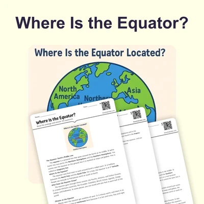
The equator is an imaginary line that circles around Earth's middle. It splits the planet into the Northern and Southern Hemispheres. Think of it like a giant belt around Earth’s waist. The equator is special because places along it get the most sunlight all year long.
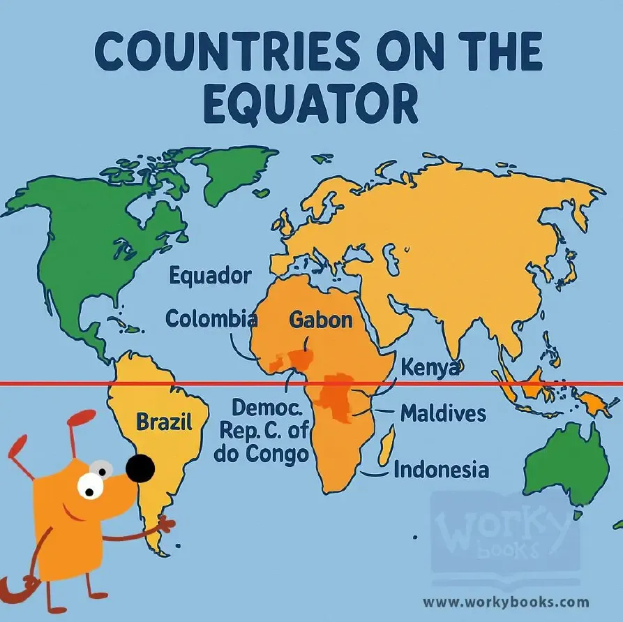
Where Are the Equator Countries?
The equator passes through 13 countries on three continents. In Africa, it crosses Gabon (home to rainforests and gorillas), Republic of Congo, Democratic Republic of Congo (with a huge rainforest), Uganda (the source of the Nile River), Kenya (famous for wildlife safaris), Somalia, and São Tomé and Príncipe (a tiny island nation). In South America, it passes through Ecuador (named after the equator!), Colombia (known for coffee and mountains), and Brazil (with the Amazon Rainforest). In Asia, the equator crosses Indonesia (thousands of islands), Maldives (a low-lying island country), and Kiribati (a Pacific island nation).
What Do These Countries Share?
All 13 countries on the equator enjoy a tropical climate. This means they have warm weather all year long—no cold winters! These places usually have about 12 hours of daylight and 12 hours of night every day. Instead of four seasons, they often have just two: a rainy season and a dry season. Many have lush rainforests filled with amazing animals and plants.
Special Places on the Equator
The equator crosses some very famous places. It goes right through the Amazon Rainforest, Mount Kenya, and thousands of Indonesian islands. In Ecuador, you can visit a monument that marks the equator. In Africa, the giant Lake Victoria is split by the equator!
Tourism and Fun Facts
Many people visit the equator for fun. They stand on painted equator lines, take photos with one foot in each hemisphere, and watch water experiments that show how water drains differently on either side of the equator.
Countries on the equator are like people living in Earth's tropical belt—they enjoy warm weather all year while the rest of us have hot summers and cold winters!
Interesting Fact:
Quito, the capital of Ecuador, has a special monument right where the equator passes through the city!
Comprehension quiz (8 questions)
1. How many countries are on the equator?
2. Which continent has most equator countries?
3. What kind of climate do equator countries have?
4. Why do these countries have warm weather?
5. What is special about Lake Victoria?
6. What do tourists do at the equator?
7. Equator countries have cold winters. True or false?
8. What does 'hemisphere' mean?
Perfect for the way you teach
- Build comprehension skills
- Auto-graded quiz
- Differentiated reading
- Read together at home
- Improve fluency
- Quiet reading time
- Reading curriculum support
- Independent practice
- Track Lexile growth