Premium
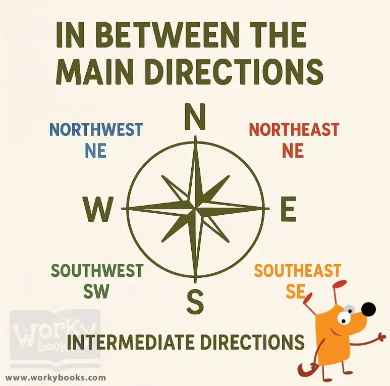
In Between the Main Directions
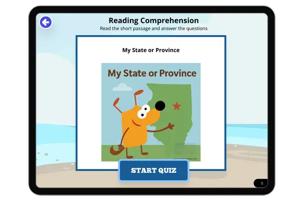
Interactive passage with audio narration, comprehension questions, and printable PDF.
Just this resource
$1.50
One-time purchase
Best value
Unlock everything
$49.99$29.99/yr
40% off until Aug 1 — 6,000+ resources
Unlock above to use these actions
- Format
- Interactive (Online), Printable (PDF)
- Grades
- 34567
- Subjects
- elasocialreading
- Standards
- FL.SS.2.G.1.1SS.2.G.1.3
- Languages
- English, Spanish
What's included
Reading passage
Reading comprehension
Audio narration
With word word highlighting
Comprehension quiz
Auto-graded
Writing activity
Open-ended response
Glossary & flashcards
Vocabulary practice
Differentiated version
Adapted for varied levels
Spanish translation
Bilingual support
About this reader
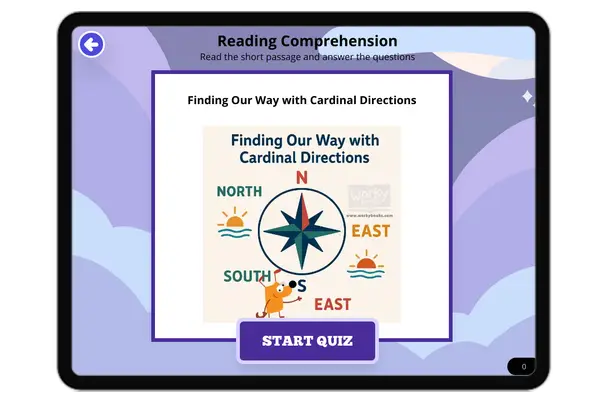
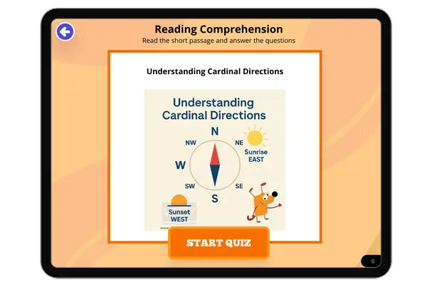
This short passage teaches students about intermediate directions—northeast, southeast, southwest, and northwest—which fall between the main cardinal directions. It explains how these directions are shown on a compass rose and used in real life, such as on maps and GPS devices. The text helps students understand how to give and follow more exact directions, which aligns with Florida standard SS.2.G.1.1. With kid-friendly vocabulary, real-life examples, and a simple explanation, this passage supports map-reading and geography skills for students in grades 2–3.
Written by Workybooks TeamPublished by Workybooks
Preview
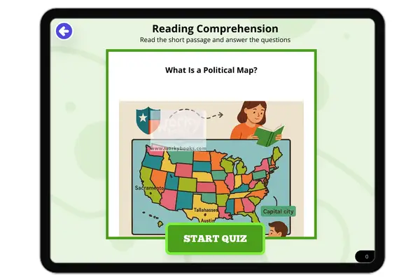
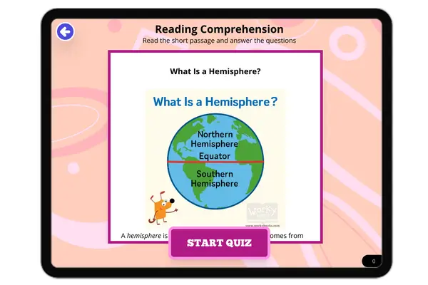
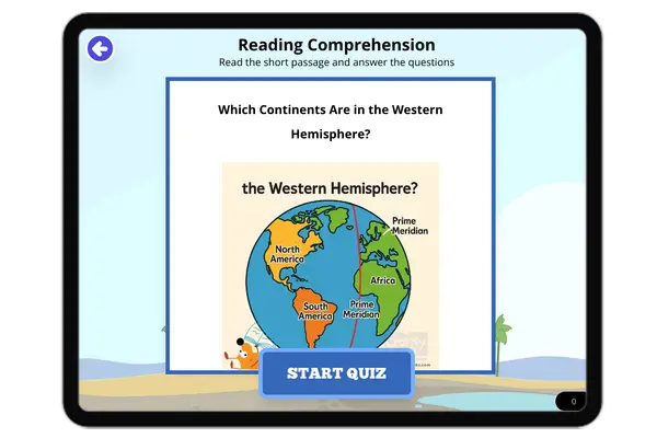
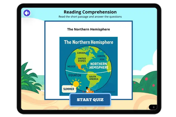
Sample passage and quiz content
Who it's for
Perfect for the way you teach
Teachers
- Build comprehension skills
- Auto-graded quiz
- Differentiated reading
Parents
- Read together at home
- Improve fluency
- Quiet reading time
Homeschoolers
- Reading curriculum support
- Independent practice
- Track Lexile growth
Topics
intermediate directionscompass rosemap skillsnortheastsouthwestnorthwestsoutheastelementary geography