What Is a Topographic Map?
Interactive passage with audio narration, comprehension questions, and printable PDF.
|
5
- Format
- Interactive (Online), Printable (PDF)
- Grades
- 34567
- Subjects
- elasocialreading
- Standards
- FL.SS.2.G.1.1SS.2.G.1.2
- Languages
- English, Spanish
What's included
Reading passage
Reading comprehension
Audio narration
With word word highlighting
Comprehension quiz
Auto-graded
Writing activity
Open-ended response
Glossary & flashcards
Vocabulary practice
Differentiated version
Adapted for varied levels
Spanish translation
Bilingual support
About this reader
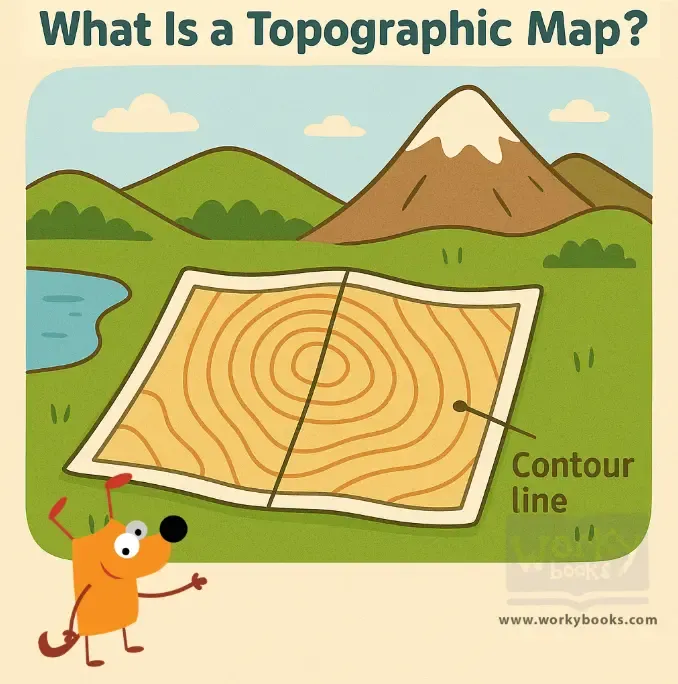
This passage introduces elementary students to the *topographic map*, a special kind of map that shows *elevation* and *landforms* using *contour lines*. Students learn how to read these lines and understand what they tell us about the land’s shape—such as hills, valleys, and mountains. The passage explains how hikers, engineers, and scientists use these maps in real life. Aligned with Florida standard FL.SS.2.G.1.1, this passage builds geography skills and helps young learners read and understand land features on maps.
Written by Workybooks TeamPublished by Workybooks
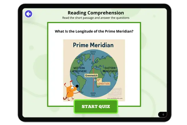
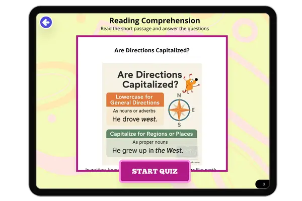
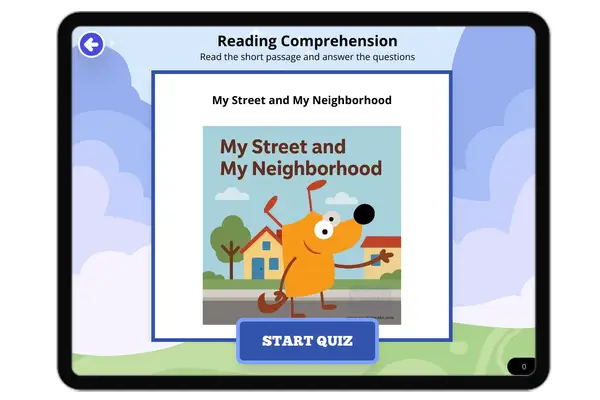
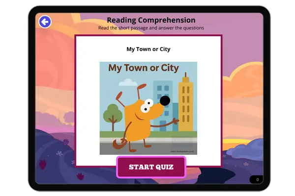
Preview
Sample passage and quiz content
Who it's for
Perfect for the way you teach
Teachers
- Build comprehension skills
- Auto-graded quiz
- Differentiated reading
Parents
- Read together at home
- Improve fluency
- Quiet reading time
Homeschoolers
- Reading curriculum support
- Independent practice
- Track Lexile growth
Topics
topographic mapcontour lineselevationlandformsgeography for kidshills and valleys