What Is the Prime Meridian?
Interactive passage with audio narration, comprehension questions, and printable PDF.
What's included
What Is the Prime Meridian? preview and details
About this printable What Is the Prime Meridian? reading passage (Grades 3-7)
Sample passage and quiz from What Is the Prime Meridian?
Reading passage and comprehension quiz preview
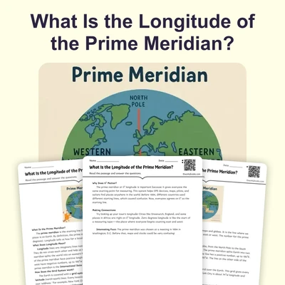
What Is the Prime Meridian?
What Is the Prime Meridian?
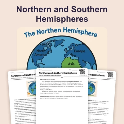
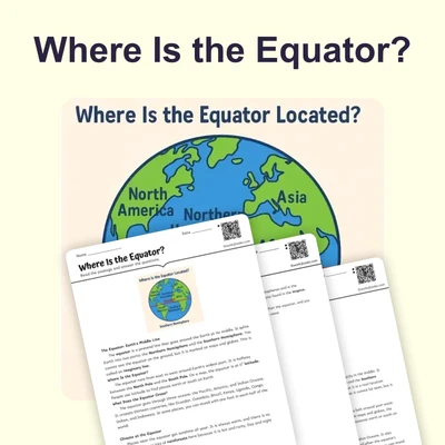
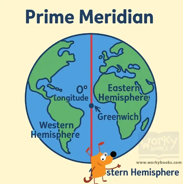
The prime meridian is an imaginary line that runs from the North Pole to the South Pole. It divides the Earth into two halves: the Eastern Hemisphere and the Western Hemisphere. While the equator runs east-west across the middle of the planet, the prime meridian runs north-south down the center, like the spine of a book.
The prime meridian is located at 0° longitude. Longitude is a way to measure how far a place is east or west from this starting line. If you look at a map or globe, you’ll see lines going up and down—these are lines of longitude, and the prime meridian is the first one!
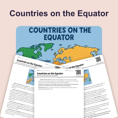
This important line passes through several places, starting in the Arctic Ocean, then going through the United Kingdom (including Greenwich, England), France, Spain, and countries in Africa like Algeria, Mali, Burkina Faso, Togo, and Ghana. It continues through the Atlantic Ocean and finally reaches Antarctica.
The prime meridian is sometimes called the Greenwich Meridian because it goes through Greenwich, England. In 1884, world leaders met and chose Greenwich as the starting point for 0° longitude. England was a powerful country and had accurate maps and clocks, making it a great choice.
The prime meridian is very useful. It helps us measure longitude, which lets us find any place on Earth. It also helps create time zones. Greenwich Mean Time (GMT) is the time at 0° longitude, and other places set their clocks by comparing to GMT. The prime meridian and the equator together make a grid, so we can use latitude and longitude to locate anything on Earth.
Interesting Fact: At Greenwich, you can stand with one foot in the Eastern Hemisphere and one foot in the Western Hemisphere at the same time!
Comprehension quiz (8 questions)
1. What is the prime meridian?
2. Which city does the prime meridian pass through?
3. What does the prime meridian help create?
4. Why was Greenwich chosen for 0° longitude?
5. How does the prime meridian divide Earth?
6. What is 0° longitude?
7. The prime meridian is a real wall. True or false?
8. What does 'longitude' mean?
Perfect for the way you teach
- Build comprehension skills
- Auto-graded quiz
- Differentiated reading
- Read together at home
- Improve fluency
- Quiet reading time
- Reading curriculum support
- Independent practice
- Track Lexile growth