This learning resource is available in interactive and printable formats. The interactive worksheet can be played online and assigned to students. The Printable PDF version can be downloaded and printed for completion by hand.
This passage teaches students about the *Equator*, the imaginary line that divides Earth into the *Northern* and *Southern Hemispheres*. Located at 0 degrees *latitude*, the Equator crosses parts of *South America*, *Africa*, and *Asia*. Students learn about the *tropical* climate near the Equator, why this area stays warm all year, and how the Equator helps people understand maps and geography. Aligned with Florida standard FL.SS.2.G.1.1, this reading passage builds knowledge of global geography in a fun and simple way.
CONTENT PREVIEW
Expand content preview
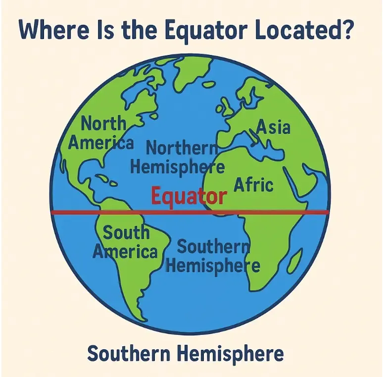
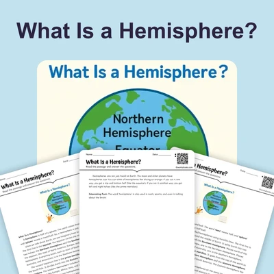
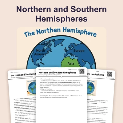
The Equator: Earth's Middle Line
The equator is an invisible line that wraps around the Earth exactly in the middle. It divides our planet into two equal halves: the Northern Hemisphere and the Southern Hemisphere. You will not see the equator painted on the ground, but it is a real location used on maps and globes. Scientists call it an imaginary line because it cannot be seen, but it helps us understand and measure our world.
Location of the Equator
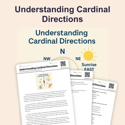
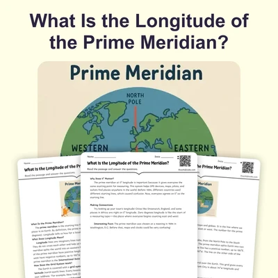
The equator runs east to west around Earth's widest part, like a belt around your waist. It is exactly halfway between the North Pole and the South Pole. On maps and globes, the equator is at 0° latitude. This is the starting point for measuring distances north or south on Earth.
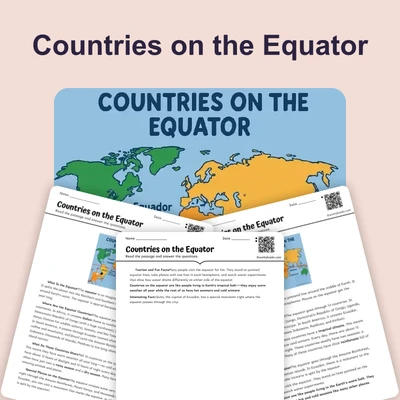
Where the Equator Passes
The equator crosses three oceans: the Pacific, Atlantic, and Indian Oceans. It also passes through thirteen countries, including Ecuador (which is named after the equator), Colombia, Brazil, Kenya, Uganda, Congo, Gabon, and Indonesia. In some places, you can stand with one foot in each hemisphere!
Climate at the Equator
Places near the equator get direct sunlight all year. This means they stay warm and do not have real winter. Because it is hot and there is a lot of rain, many rainforests grow here. In these areas, days and nights are almost the same length—about 12 hours each.
Why the Equator Matters
The equator is important because it divides Earth into two hemispheres and is the starting point for latitude. It also helps create the warm, wet climate found in the tropics. The equator affects seasons and climate all over the world.
Interesting Fact: Ecuador, a country in South America, is named after the equator, and you can visit places there where you can stand in both hemispheres at once!
What does the equator divide?
Earth into two hemispheresThe Pacific OceanMountains and riversNorth and South Poles
Where is the equator on a map?
At 0° latitudeAt 90° latitudeOn the prime meridianNear the South Pole
What is an imaginary line?
A line you can't seeA real painted lineA riverA mountain
Why is it warm at the equator?
It gets direct sunlightIt is near the North PoleIt has no oceansIt is at high altitude
What happens to day and night at the equator?
They are about equal lengthDays are longer than nightsNights are longer than daysThere is no night
How does the equator affect climate?
Makes it warm and rainyMakes it cold and dryBrings snow all yearCreates deserts
The equator passes through 13 countries.
TrueFalse
What is the meaning of 'latitude'?
Distance north or south of the equatorHeight of a mountainAmount of rainfallSpeed of a river
Perfect For:
👩🏫 Teachers
• Reading comprehension practice
• Auto-graded assessments
• Literacy skill development
👨👩👧👦 Parents
• Reading practice at home
• Comprehension improvement
• Educational reading time
🏠 Homeschoolers
• Reading curriculum support
• Independent reading practice
• Progress monitoring
Reading Features:
📖
Reading Passage
Engaging fiction or nonfiction text
❓
Comprehension Quiz
Auto-graded questions
📊
Instant Feedback
Immediate results and scoring
📄
Printable Version
Download for offline reading
🔊
Read Aloud
Voice-over with word highlighting
Reviews & Ratings
No reviews yet. Be the first to share your experience!
Related Content
What Is a Hemisphere?
This passage introduces elementary students to the concept of a *hemisphere*, explaining how Earth can be divided into h...
FL.SS.2.G.1.1SS.2.G.1.1
What Is a Topographic Map?
This passage introduces elementary students to the *topographic map*, a special kind of map that shows *elevation* and *...
FL.SS.2.G.1.1SS.2.G.1.2
Finding Our Way with Cardinal Directions
This engaging passage introduces elementary students to the concept of cardinal directions—north, south, east, and west....
FL.SS.2.G.1.1SS.2.G.1.3
In Between the Main Directions
This short passage teaches students about intermediate directions—northeast, southeast, southwest, and northwest—which f...
FL.SS.2.G.1.1SS.2.G.1.3
What Is a Population Map?
This passage teaches students about population maps, a kind of thematic map that shows how many people live in different...
FL.SS.2.G.1.1SS.2.G.1.3
What Is a Political Map?
This passage introduces elementary students to political maps, which show how land is divided into countries, states, an...
FL.SS.2.G.1.1SS.2.G.1.3
The Western Hemisphere
This reading passage introduces students to the *Western Hemisphere*, the half of the Earth located west of the *Prime M...
FL.SS.2.G.1.1SS.2.G.1.2
Which Continents Are in the Western Hemisphere?
This passage teaches elementary students which continents are found in the *Western Hemisphere*, including North America...
FL.SS.2.G.1.1SS.2.G.1.3
The Northern Hemisphere
This passage introduces elementary students to the *Northern Hemisphere*, the half of Earth that lies above the *Equator...
FL.SS.2.G.1.1SS.2.G.1.2
Northern and Southern Hemispheres
This passage explains the difference between the *Northern Hemisphere* and the *Southern Hemisphere*, the two halves of ...
FL.SS.2.G.1.1SS.2.G.1.3
Countries on the Equator
This passage introduces students to countries located on the *Equator*, including Ecuador, Brazil, Kenya, and Indonesia....
FL.SS.2.G.1.1SS.2.G.1.3
Understanding Cardinal Directions
This engaging passage explains the concept of cardinal directions—north, south, east, and west—and their importance in n...
FL.SS.2.G.1.1SS.2.G.1.1
What Is the Prime Meridian?
This passage explains the *Prime Meridian*, the imaginary line that runs from the *North Pole* to the *South Pole* and d...
FL.SS.2.G.1.1SS.2.G.1.3
What Is the Longitude of the Prime Meridian?
This passage explains that the *Prime Meridian* is the line of *0 degrees longitude* that divides the Earth into the *Ea...
FL.SS.2.G.1.1SS.2.G.1.3
Are Directions Capitalized?
This passage teaches students about capitalization rules for direction words such as north, south, east, and west. It ex...
FL.SS.2.G.1.1SS.2.G.1.1
My Room and My House
This passage introduces young learners to the idea of personal space by starting with the room and expanding to the hous...
FL.SS.2.G.1.1SS.2.G.1.3
My Street and My Neighborhood
This reading passage helps students understand the concepts of a street and a neighborhood. It highlights how neighborho...
FL.SS.2.G.1.1SS.2.G.1.3
My Town or City
In this passage, students learn how their towns and cities are structured. It explains the role of neighborhoods, commun...
FL.SS.2.G.1.1SS.2.G.1.2
My State or Province
This geography passage teaches students about states or provinces as larger political areas made up of many towns and ci...