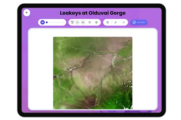
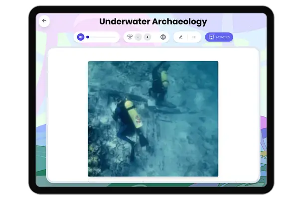
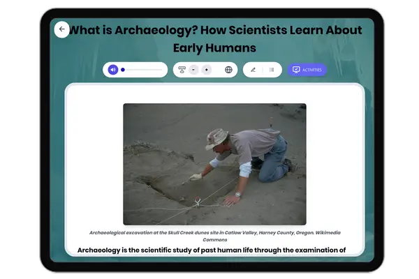
This passage explores the Nazca Lines, mysterious giant geoglyphs created by the ancient Nazca civilization in Peru's desert. Students will learn about the geography, archaeological discoveries, and theories about their purpose. The passage includes evidence from primary and archaeological sources, cause and effect relationships, and analysis of human impact. Activities include a multiple-choice quiz, writing prompts, and graphic organizers, supporting historical thinking and Common Core ELA skills. This resource is aligned with CA HSS 6.2, TEKS 6.2, and CCSS RI.6.1, and includes a Spanish translation and read aloud audio to support diverse learners.
Written by Workybooks TeamPublished by Workybooks
Preview
Sample passage and quiz content
CONTENT PREVIEW
Expand content preview
Líneas de Nazca, Nazca, Perú, 2015-07-29, DD 54.JPG Source: Wikimedia Commons - Diego Delso
The Nazca Lines are a collection of giant drawings, also called geoglyphs, located in the arid desert of southern Peru. These enormous shapes and patterns were created by the ancient Nazca civilization, which flourished between 200 BCE and 600 CE. Spread over more than 500 square kilometers, the Nazca Lines include straight lines, geometric shapes, and figures of animals such as hummingbirds, monkeys, and spiders. The sheer size and precision of these figures have made the Nazca Lines one of archaeology's greatest mysteries.
The creation of the Nazca Lines required careful planning and technical skill. Archaeologists have found that the Nazca people removed the dark top layer of stones to reveal lighter soil underneath, forming clear shapes that can only be truly seen from above. Some of the longest lines stretch up to 12 kilometers, and the largest figures measure more than 200 meters across. Primary sources, such as the ancient pottery decorated with similar animal motifs, suggest that these designs were important to Nazca culture. The work of Maria Reiche, a German mathematician who studied the lines for over 40 years, helped document and protect the geoglyphs. She measured and mapped the figures, using both aerial photography and on-the-ground surveys to provide evidence of their complexity.
The purpose of the Nazca Lines remains debated. Some scholars believe they had a religious or ritual purpose, possibly related to water and agriculture. The lines may have been paths used in ceremonies to honor deities, or to ask for rain in the dry desert environment. Archaeological evidence, such as the discovery of ceremonial platforms near some figures, supports this theory. Others think the lines functioned as an astronomical calendar or were linked to the movement of the stars. However, not all designs align perfectly with celestial events, and many scholars now believe the lines had multiple purposes over time.
Over the centuries, the Nazca Lines have remained mostly intact due to the region's dry climate and lack of wind. However, modern threats such as road construction, mining, and even vandalism have damaged some geoglyphs. In response, UNESCO declared the Nazca Lines a World Heritage Site in 1994, recognizing their global significance and encouraging preservation efforts. The lines continue to attract researchers and tourists, highlighting the achievements of the Nazca people and raising important questions about the relationship between humans, environment, and culture.
The study of the Nazca Lines shows how geography influences civilization. The desert's harsh conditions shaped Nazca society and inspired unique forms of artistic and religious expression. Analyzing the Nazca Lines helps historians understand ancient beliefs, technology, and the ways people adapt to their environment. This connects to broader themes in world history, such as the role of environment in shaping societies and the importance of preserving cultural heritage.
Interesting Fact: The Nazca Lines are so large that they were not fully recognized until airplanes flew over the region in the 1920s, revealing the figures hidden in the desert surface.
Where are the Nazca Lines located?
Southern PeruNorthern EgyptCentral MexicoEastern China
What year did UNESCO name the site?
19941920600 CE200 BCE
Which animal is NOT mentioned in the passage?
FishHummingbirdMonkeySpider
Why did the Nazca people make the lines?
For religious and ritual purposesTo mark territory onlyAs ancient roads onlyFor farming only
How have the lines survived for centuries?
Dry climate and little windHeavy rainfall each yearConstant repairs by localsCovered by forests
What impact did Maria Reiche have?
She mapped and protected the linesShe built new geoglyphsShe destroyed some animal figuresShe lived in the desert
The Nazca Lines can be seen best from above. True or false?
TrueFalse
What is a 'geoglyph'?
Giant ground drawingSmall stone toolType of plantAncient city