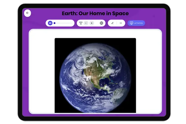
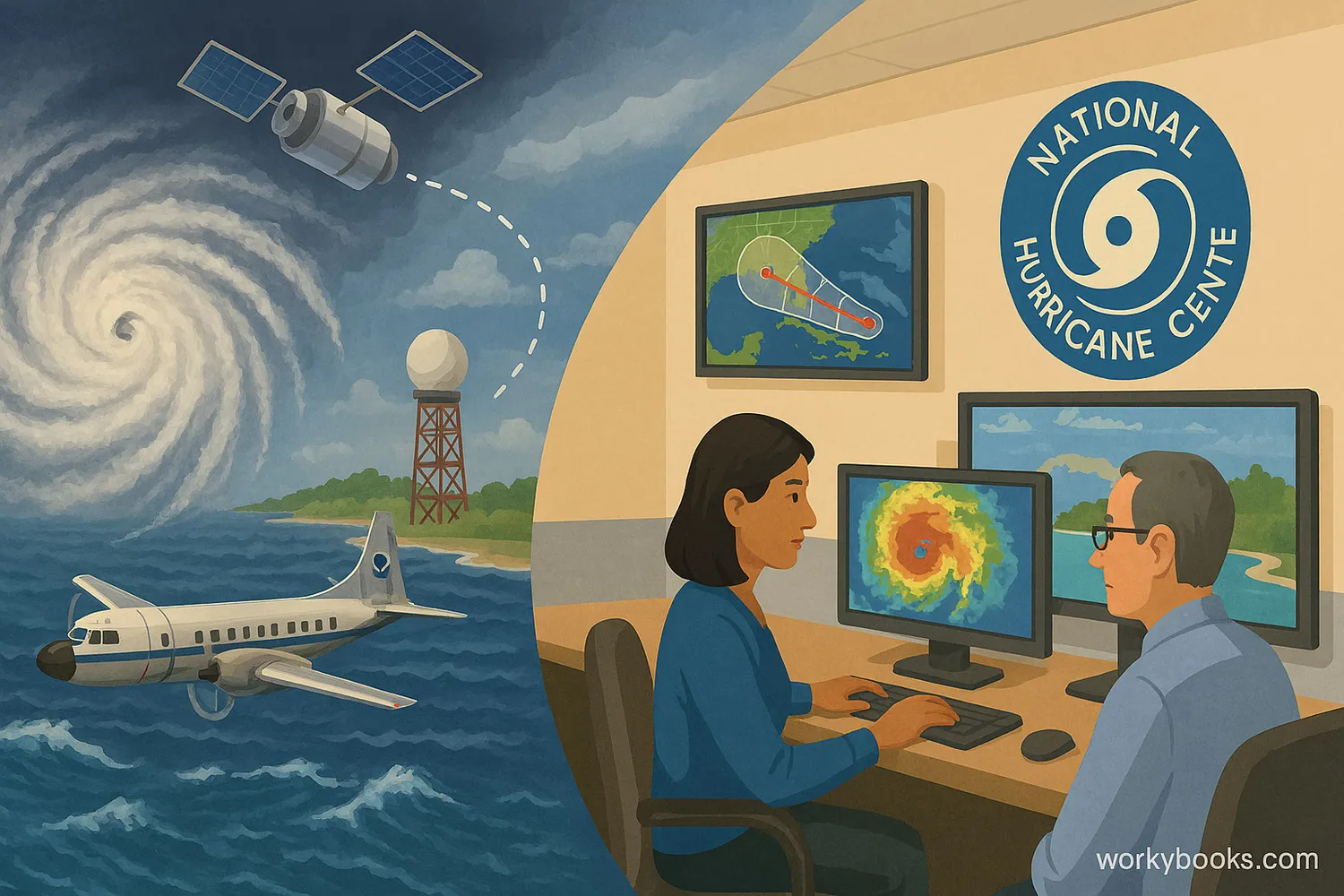
The Role of the National Hurricane Center in Monitoring and Forecasting Storms — Reading Comprehension
Rate this
Premium Resource
Present
Present in classroom. No work saved
Assign
Classroom with student accounts, Track progress
Quick Play
No student accounts, assign with a link
Grades
6
PRINT+DIGITAL RESOURCE
This learning resource is available in interactive and printable formats. The interactive worksheet can be played online and assigned to students. The Printable PDF version can be downloaded and printed for completion by hand.
This educational passage, designed for a 6th-grade reading level, delves into the critical role of the National Hurricane Center (NHC) in monitoring and forecasting tropical storms and hurricanes. Students will learn about the science behind weather prediction, the technologies used by the NHC, and how their work helps communities prepare for severe weather. This content aligns with NGSS standard MS-ESS3-2, focusing on analyzing data on natural hazards to forecast events and inform mitigation efforts. The passage is integrated with audio for an enhanced learning experience, making complex scientific concepts accessible and engaging. Activities include multiple-choice questions, a glossary, and short answer questions.
CONTENT PREVIEW
Expand content preview
National Hurricane Center scientists monitor storm data via satellite, radar, and hurricane hunter aircraft.
Imagine a massive, swirling weather system forming over warm ocean waters, threatening to bring powerful winds and heavy rain to coastal areas. How do we know when and where these storms will strike? The answer lies with a dedicated group of scientists and forecasters at the National Hurricane Center (NHC). Located in Miami, Florida, the NHC is a vital part of the United States' efforts to protect communities from the dangers of tropical cyclones, which include tropical depressions, tropical storms, and hurricanes.
The NHC's main job is to monitor and forecast tropical weather systems in the Atlantic Ocean, Caribbean Sea, Gulf of Mexico, and the Eastern Pacific Ocean. They use a variety of tools and technologies to do this. Weather satellites orbiting Earth constantly send back images and data, showing the size, shape, and movement of clouds and storm systems. Radar systems on the ground detect precipitation and wind speeds within a storm. Even special aircraft, called hurricane hunter planes, fly directly into storms to collect crucial information like temperature, humidity, and pressure.
All this data is fed into powerful computer models. These models use complex mathematical equations to predict a storm's future path and intensity. Forecasters at the NHC then analyze these model outputs, along with their own expert knowledge, to create official forecasts and issue warnings and advisories. A hurricane watch means hurricane conditions are possible within 48 hours, while a hurricane warning means they are expected within 36 hours. These forecasts are incredibly important for helping people prepare, evacuate if necessary, and ultimately save lives.
The NHC's work doesn't just involve predicting the future; it also involves understanding the past. By analyzing data from historical storms, scientists learn more about how these natural hazards behave. This knowledge helps improve future forecasts and informs the development of technologies and strategies to mitigate (reduce the severity of) their effects. Thanks to the NHC, coastal residents have critical information to make informed decisions when severe weather threatens, helping to minimize damage and ensure safety.
Interesting Fact: The NHC also names tropical storms! When a tropical cyclone reaches a sustained wind speed of 39 mph, it gets a name from a pre-determined list that rotates every six years.
Where is the National Hurricane Center located?
Miami, FloridaHouston, TexasNew York, New YorkLos Angeles, California
What is the primary role of the NHC?
Monitor tropical systemsName all cloudsStudy earthquakesControl ocean tides