Premium
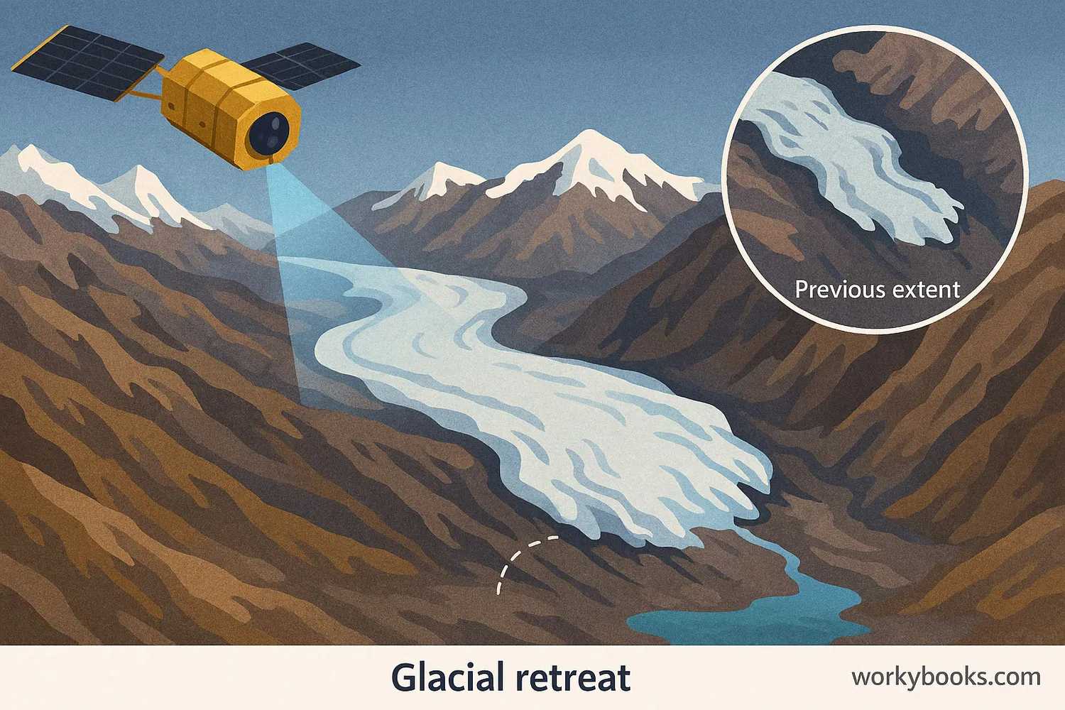
Using Satellite Imagery to Measure Glacial Retreat
Interactive passage with audio narration, comprehension questions, and printable PDF.
Just this resource
$1.50
One-time purchase
Best value
Unlock everything
$19.99/yr
5,000+ resources, AI tools
Unlock above to use these actions
- Format
- Interactive (Online), Printable (PDF)
- Grades
- 6
- Subjects
- science
- Languages
- English, Spanish
What's included
Reading passage
Reading comprehension
Audio narration
With word word highlighting
Comprehension quiz
Auto-graded
Writing activity
Open-ended response
Glossary & flashcards
Vocabulary practice
Differentiated version
Adapted for varied levels
Spanish translation
Bilingual support
About this reader
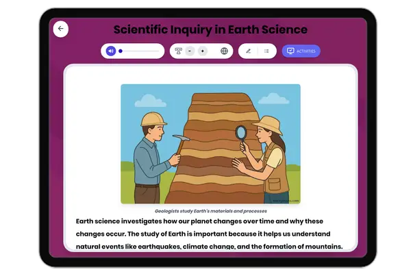
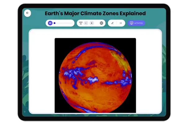
This educational passage, "Using Satellite Imagery to Measure Glacial Retreat," introduces 6th-grade students to the critical role of technology in understanding environmental changes. Aligned with NGSS MS-ESS3-5, it explores how scientists use satellite imagery, a type of remote sensing, to monitor the shrinking size of glaciers and ice caps around the world. The passage explains key terms like climate change and global warming, making complex concepts accessible. Students will learn about the evidence for rising global temperatures by observing glacial retreat and its impact. This resource includes engaging activities like multiple-choice questions, a glossary, and short answer questions, all designed to deepen comprehension and critical thinking. All components are audio integrated for enhanced learning.
Written by Workybooks TeamPublished by Workybooks
Preview
Sample passage and quiz content
Who it's for
Perfect for the way you teach
Teachers
- Build comprehension skills
- Auto-graded quiz
- Differentiated reading
Parents
- Read together at home
- Improve fluency
- Quiet reading time
Homeschoolers
- Reading curriculum support
- Independent practice
- Track Lexile growth
Topics
satellite imageryglacial retreatclimate changeglobal warmingglaciersice capsremote sensingNGSS MS-ESS3-5