Premium
Weather Fronts
Interactive passage with audio narration, comprehension questions, and printable PDF.
|
1
Just this resource
$1.50
One-time purchase
Best value
Unlock everything
$49.99$29.99/yr
40% off until Aug 1 — 6,000+ resources
Unlock above to use these actions
- Format
- Interactive (Online), Printable (PDF)
- Grades
- 5678
- Subjects
- scienceela
- Standards
- MS-ESS2-5
- Languages
- English, Spanish
What's included
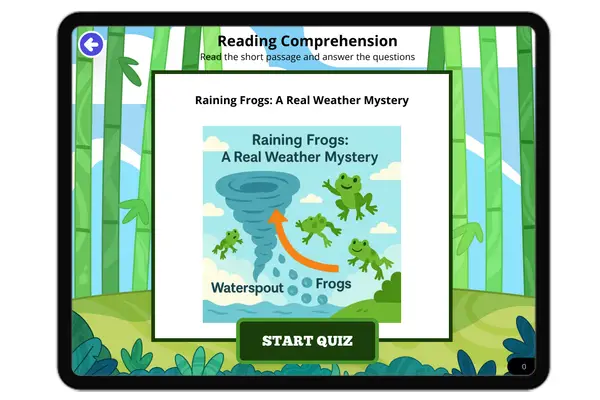
Reading passage
Reading comprehension
Audio narration
With word word highlighting
Comprehension quiz
Auto-graded
Writing activity
Open-ended response
Glossary & flashcards
Vocabulary practice
Differentiated version
Adapted for varied levels
Spanish translation
Bilingual support
About this reader
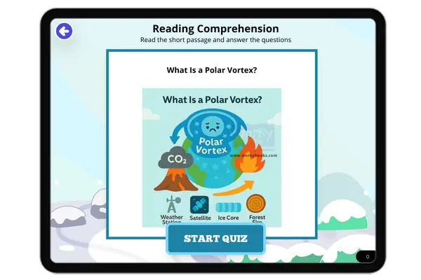
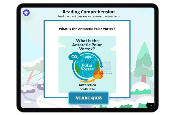
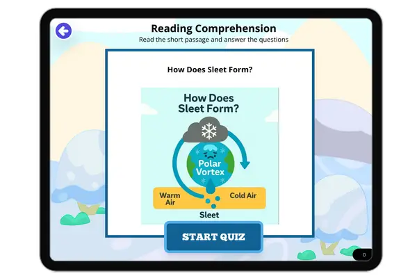
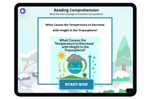
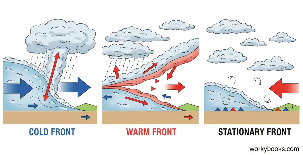
This passage for grades 6-8 explores the science of weather fronts, aligned to NGSS standard MS-ESS2-5. Students will learn how cold, warm, stationary, and occluded fronts form at the boundaries between air masses with different temperatures and densities. The passage explains the mechanisms behind each type of front, their effects on weather (including precipitation and temperature changes), and how meteorologists use symbols to represent them on weather maps. Real-world examples and cause-and-effect relationships highlight why understanding fronts is crucial for weather prediction and public safety. The resource includes a glossary, Spanish translation, differentiated version, multiple-choice quiz, writing prompts, and graphic organizers, making it accessible for all learners. All content is audio integrated for enhanced accessibility. This is an essential resource for teaching atmospheric systems and weather interactions in the middle school classroom.
Written by Workybooks TeamPublished by Workybooks
Preview
Sample passage and quiz content
Who it's for
Perfect for the way you teach
Teachers
- Build comprehension skills
- Auto-graded quiz
- Differentiated reading
Parents
- Read together at home
- Improve fluency
- Quiet reading time
Homeschoolers
- Reading curriculum support
- Independent practice
- Track Lexile growth
Topics
weather frontsair massescold frontwarm frontstationary frontoccluded frontprecipitationweather mapmeteorologyNGSS MS-ESS2-5