What Is The Difference Between Satellite Measurements And Ground-Based Measurements?
Interactive passage with audio narration, comprehension questions, and printable PDF.
What's included
What Is The Difference Between Satellite Measurements And Ground-Based Measurements? preview and details
About this printable What Is The Difference Between Satellite Measurements And Ground-Based Measurements? science reading passage, NGSS-aligned (Grade 6)
Sample passage and quiz from What Is The Difference Between Satellite Measurements And Ground-Based Measurements?
Reading passage and comprehension quiz preview
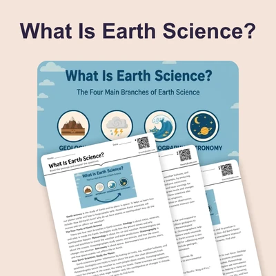
What Is The Difference Between Satellite Measurements And Ground-Based Measurements?
Imagine trying to understand the weather across an entire country, or even the whole world. How would scientists gather enough information? They use two main approaches: satellite measurements and ground-based measurements. Both are crucial for understanding our planet's climate and how it's changing, especially when we talk about global temperatures.
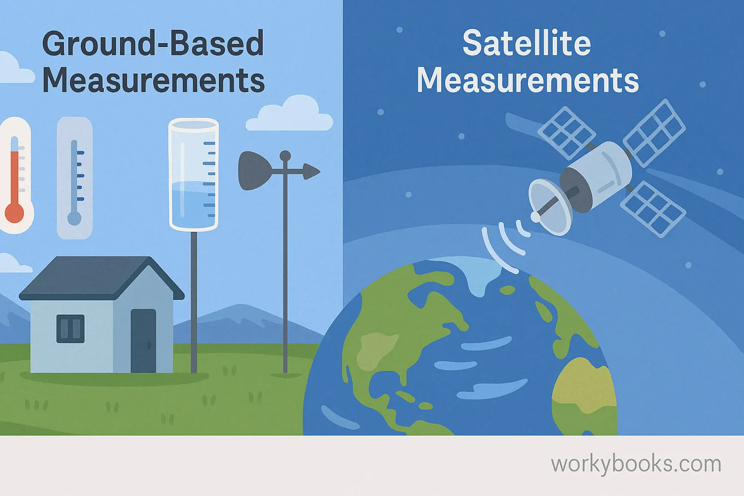
Let's start with ground-based measurements. These are collected by equipment right here on Earth's surface. Think of weather stations you might see, or even simple thermometers outside your window. Scientists use tools like rain gauges to measure precipitation, thermometers to measure air temperature, and wind vanes to measure wind direction. These instruments give very accurate information for a specific location. For example, a weather station in your town can tell you precisely how hot it is right there. However, there aren't ground stations everywhere. Imagine trying to put a weather station in the middle of a vast ocean or on top of a remote mountain! This is where satellites become incredibly useful.
Satellites are special machines that orbit Earth, far above our heads. They carry powerful sensors that can collect data from space. Unlike ground stations, satellites can see huge areas of the planet at once, providing a global perspective. They can measure things like the temperature of the land and ocean surfaces, the amount of ice in the polar regions, and even gases in the atmosphere, like carbon dioxide. Because they orbit constantly, they can collect data repeatedly over the same areas, allowing scientists to track changes over time. This helps us monitor climate change trends.
So, what's the difference? Ground-based measurements offer detailed, exact information for specific points on the ground. They are like taking a close-up photo. Satellite measurements, on the other hand, provide a broad, consistent view of the entire planet. They are like taking a picture of the whole landscape from high above. Both types of data are important because they complement each other. Scientists combine information from both satellites and ground stations to get the most complete and accurate picture of Earth's climate system, helping us understand the factors causing global temperatures to rise.
Interesting Fact: The first weather satellite, TIROS-1, was launched by the United States in 1960 and sent back images of Earth's cloud cover.
Comprehension quiz (10 questions)
1. Which tool measures precipitation?
2. Satellites provide a global perspective.
3. Which of these is a ground-based measurement?
4. Why are ground stations limited?
5. How do satellites help track changes?
6. What can satellites measure that ground stations might not easily?
7. Why do scientists combine both data types?
8. Which word means 'the whole air surrounding Earth'?
9. If you wanted to know the exact temperature of your backyard right now, which measurement method would be best?
10. Why is a satellite better for monitoring large-scale climate trends like ocean temperatures across continents?
Perfect for the way you teach
- Build comprehension skills
- Auto-graded quiz
- Differentiated reading
- Read together at home
- Improve fluency
- Quiet reading time
- Reading curriculum support
- Independent practice
- Track Lexile growth