How Do Valleys and Plains Form
Interactive passage with audio narration, comprehension questions, and printable PDF.
By completing this purchase you agree to our Terms of Use and Privacy Policy. Your subscription renews automatically until you cancel. You can cancel anytime from your account settings. All sales are final and non-refundable. Digital content is available for download in your account immediately upon purchase.
What's included
How Do Valleys and Plains Form preview and details
About this printable How Do Valleys and Plains Form science reading passage, NGSS-aligned (Grades 6-8)
Sample passage and quiz from How Do Valleys and Plains Form
Reading passage and comprehension quiz preview
How Valleys and Plains Form
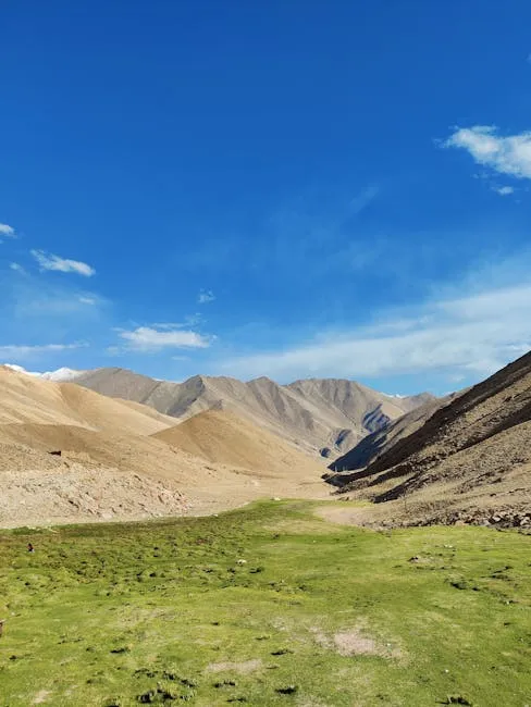
Earth's surface contains many different landforms, including valleys and plains. A valley is a low area of land between hills or mountains, while a plain is a large, flat area of land. These landforms do not appear suddenly. They develop over millions of years through three main processes: water erosion, glaciation, and tectonic subsidence.
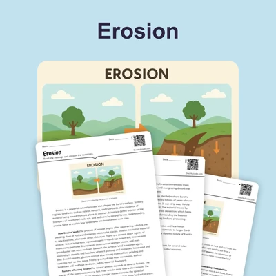
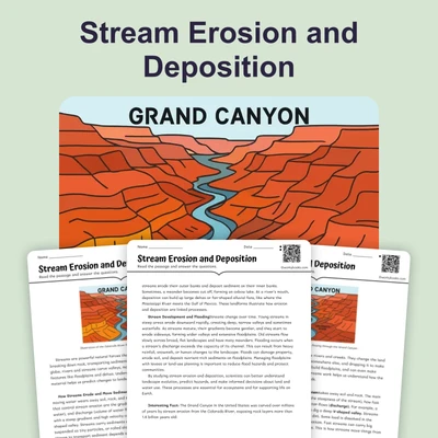
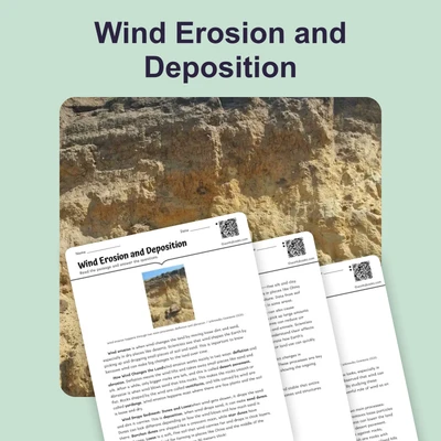
Water erosion is one of the most common ways valleys form. Erosion is the process of wearing away rock and soil by natural forces like water, wind, or ice. When rivers flow downhill, they carry sediment and small rocks that act like sandpaper on the riverbed. Over thousands of years, the river cuts deeper into the land, creating a V-shaped valley. The Grand Canyon in Arizona formed this way as the Colorado River eroded rock layers for millions of years. The faster the water flows and the more sediment it carries, the more quickly erosion occurs. Weathering, which is the breaking down of rocks into smaller pieces, works together with erosion to shape valleys.
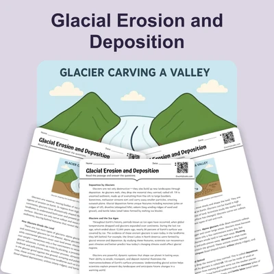
Glaciation is another powerful force that creates valleys. Glaciers are massive sheets of slow-moving ice that form in cold regions where snow accumulates faster than it melts. As a glacier moves downhill due to gravity, it picks up rocks and boulders that scrape and grind the land beneath it. This process creates U-shaped valleys with steep sides and flat bottoms. Unlike river valleys, glacial valleys are wider and deeper. Yosemite Valley in California is a famous example of a glacial valley formed during the last ice age. The glacier that carved Yosemite was over 4,000 feet thick in some places.
Plains often form through a process called tectonic subsidence. Earth's outer layer consists of large pieces called tectonic plates that slowly move and shift. When these plates pull apart or sink downward, they create low-lying areas called basins. Over time, sediment from rivers and wind fills these basins, creating flat plains. The Great Plains in North America formed partly through this process. Sediment deposited by ancient rivers filled a basin created by tectonic activity, building up layers of soil hundreds of feet thick. This sediment came from the Rocky Mountains as they eroded over millions of years.
All three processes work on different time scales but share common features. They all require immense amounts of time, involve the movement of rock and sediment, and are influenced by gravity. Water erosion can create noticeable changes in hundreds to thousands of years, while glaciation and tectonic subsidence typically require millions of years to form major landforms. Scientists study these processes by examining rock layers, measuring current rates of erosion, and using computer models to understand how landscapes change.
Understanding how valleys and plains form helps scientists predict future landscape changes and manage natural resources. For example, knowing erosion rates helps engineers design bridges and dams that can withstand changing river channels. This knowledge also helps us understand Earth's history by reading the story written in rocks and landforms.
Interesting Fact: Some valleys on Mars were likely carved by water billions of years ago, suggesting that Mars once had flowing rivers similar to Earth.
Comprehension quiz (10 questions)
1. What is a valley?
2. Which process creates V-shaped valleys?
3. What does the term 'erosion' mean in the passage?
4. What shape are glacial valleys?
5. How do plains form through tectonic subsidence?
6. Why does water erosion work faster than glaciation or tectonic subsidence?
7. What do all three landform processes (water erosion, glaciation, and tectonic subsidence) have in common?
8. Based on the passage, which landform would most likely form in a region with massive ice sheets?
9. True or False: The Grand Canyon was formed by glaciation.
10. True or False: Weathering and erosion work together to shape valleys.
Perfect for the way you teach
- Build comprehension skills
- Auto-graded quiz
- Differentiated reading
- Read together at home
- Improve fluency
- Quiet reading time
- Reading curriculum support
- Independent practice
- Track Lexile growth