How GPS Technology Map Earth's Surface
Interactive passage with audio narration, comprehension questions, and printable PDF.
What's included
How GPS Technology Map Earth's Surface preview and details
About this printable How GPS Technology Map Earth's Surface science reading passage, NGSS-aligned (Grades 6-8)
Sample passage and quiz from How GPS Technology Map Earth's Surface
Reading passage and comprehension quiz preview
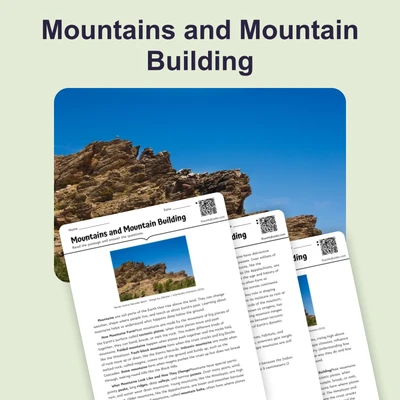
How GPS Technology Maps Earth's Surface
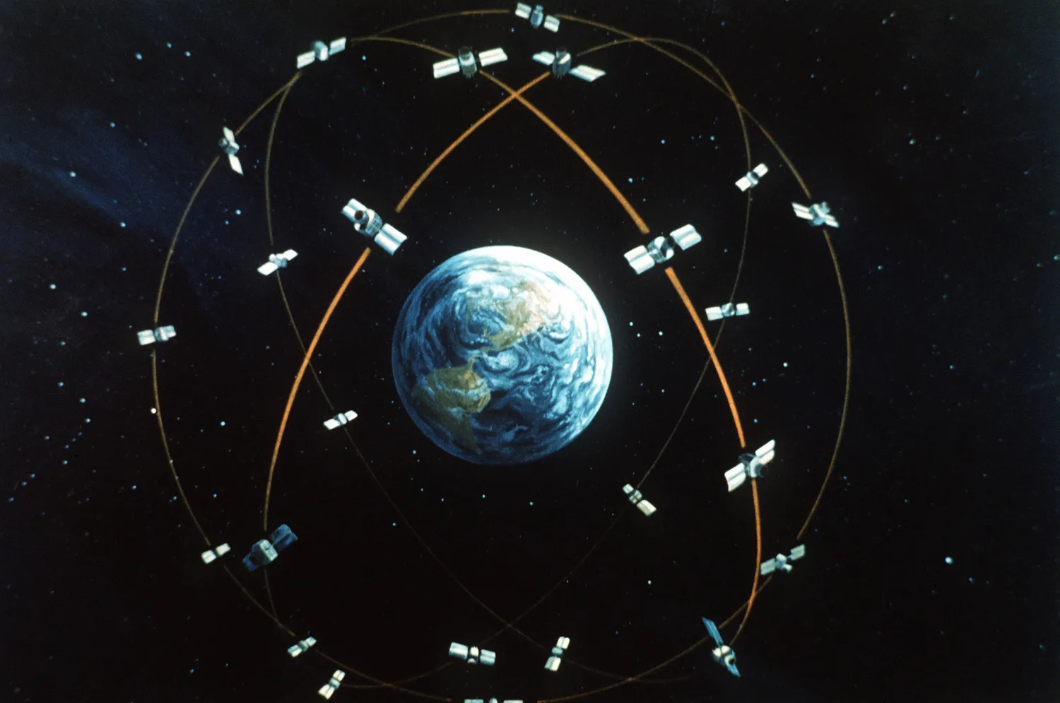
"Artist's global concept of the NAVSTAR Global Positioning System Satellite - DPLA - e1743941362296beee266682f3b33ed0" by Department of Defense. American Forces Information Service. Defense Visual Information Center. 1994 / Wikimedia Commons
The Global Positioning System (GPS) is a network of satellites orbiting Earth that helps determine precise locations on the planet's surface. GPS works by sending radio signals from at least four satellites to a receiver on the ground. The receiver calculates the time each signal takes to arrive, then uses this information to determine its exact position. This technology can pinpoint locations with accuracy down to a few millimeters, making it an essential tool for scientists studying Earth's surface.
GPS technology relies on a process called trilateration, which uses distances from multiple satellites to calculate position. Each GPS satellite orbits approximately 20,000 kilometers above Earth and continuously broadcasts its location and the current time. When a GPS receiver picks up signals from four or more satellites, it measures how long each signal took to travel. Since radio signals move at the speed of light, the receiver can calculate its distance from each satellite. By combining these distances, the receiver determines its precise location in three dimensions: latitude, longitude, and elevation.
Scientists use GPS to track the movement of tectonic plates, the massive slabs of rock that make up Earth's outer shell. GPS stations installed on different plates record their positions continuously. Over months and years, scientists observe how these positions change. For example, GPS measurements show that the Pacific Plate moves northwest at about 7 centimeters per year. This data helps scientists understand earthquake risks and predict where tectonic activity might occur. GPS has revealed that some plates move faster than others and that movement rates can change over time.
GPS technology also monitors glacier retreat, the shrinking of ice masses due to climate change. Scientists place GPS receivers on glaciers to track their movement and elevation changes. As glaciers melt, GPS data shows both horizontal movement and vertical lowering of the ice surface. In Greenland and Antarctica, GPS measurements have documented ice loss rates, showing some glaciers thinning by several meters per year. This information helps scientists calculate how much meltwater enters the oceans and contributes to sea level rise.
Another important application is measuring land subsidence, the gradual sinking of Earth's surface. GPS networks detect subsidence caused by groundwater extraction, oil and gas removal, or natural soil compaction. In California's Central Valley, GPS data shows some areas sinking more than 30 centimeters per year due to excessive groundwater pumping. This subsidence damages infrastructure like roads, bridges, and water delivery systems. GPS monitoring helps communities identify problem areas and adjust water use to prevent further damage.
GPS technology enables scientists to create detailed terrain maps and monitor landscape changes over time. By combining GPS measurements with other technologies, researchers produce digital elevation models that show Earth's surface features with centimeter-level precision. Scientists use these models to study volcanic deformation, landslide movement, and coastal erosion. After earthquakes, GPS data reveals how the ground shifted, helping scientists understand fault behavior and improve building codes in earthquake-prone regions.
The precision of GPS measurements continues to improve as technology advances. Modern GPS systems can detect movements smaller than one centimeter, allowing scientists to observe subtle changes in Earth's surface. This capability supports research on topics ranging from plate tectonics to climate change impacts. GPS has transformed how scientists collect data about Earth's dynamic surface, providing continuous measurements that would be impossible to obtain through traditional surveying methods alone.
Interesting Fact: Some GPS stations can detect the elastic rebound of Earth's crust after large earthquakes, measuring how the ground literally bounces back over weeks and months following the initial rupture.
Comprehension quiz (10 questions)
1. What is the Global Positioning System (GPS)?
2. How many satellites must a GPS receiver get signals from to calculate its position?
3. What does the term 'trilateration' mean in the context of GPS technology?
4. According to the passage, how fast does the Pacific Plate move each year?
5. What is land subsidence?
6. Why do scientists place GPS receivers on glaciers?
7. Based on the passage, what causes land subsidence in California's Central Valley?
8. How does GPS technology help scientists after earthquakes occur?
9. GPS satellites orbit approximately 20,000 kilometers above Earth's surface.
10. GPS technology can only measure locations with accuracy down to several meters, not millimeters.
Perfect for the way you teach
- Build comprehension skills
- Auto-graded quiz
- Differentiated reading
- Read together at home
- Improve fluency
- Quiet reading time
- Reading curriculum support
- Independent practice
- Track Lexile growth