
Passage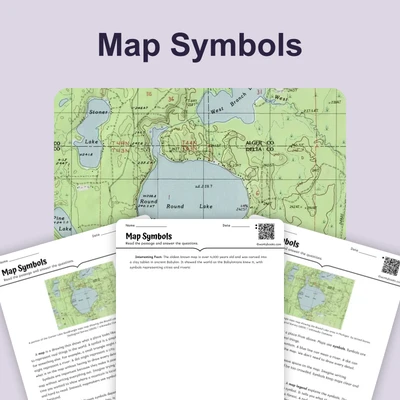
Grades 3–5
Map Symbols
Reading Passage · NGSS 4-ESS2-2
$1.50

Explore our collection of Maps and Topography curriculum resources for grades K-5. From understanding simple map symbols in kindergarten to analyzing topographic maps in upper elementary, these printable and digital activities build foundational geography skills. Some resources are free; a membership unlocks the full library.
Reading Passage · NGSS 4-ESS2-2
Reading Passage · NGSS 4-ESS2-2
Reading Passage · NGSS 4-ESS2-2
Reading Passage · NGSS 4-ESS2-2
Reading Passage · NGSS 4-ESS2-2
Reading Passage · NGSS 4-ESS2-2
40% off until Aug 1
Reading Passage · NGSS 4-ESS2-2
Reading Passage · MS-ESS2-2
Reading Passage · MS-ESS2-2
Reading Passage · MS-ESS2-2
Reading Passage · MS-ESS2-2
Reading Passage · MS-ESS2-1
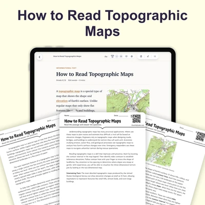
Reading Passage · MS-ESS2-1
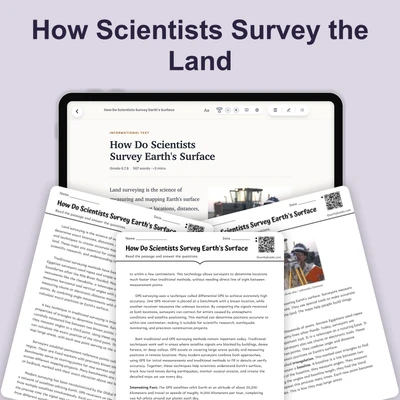
Reading Passage · MS-ESS2-1
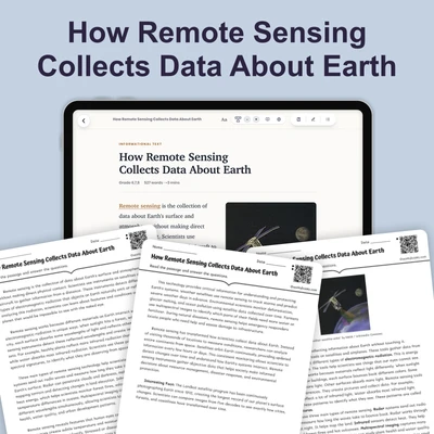
Reading Passage · MS-ESS2-1
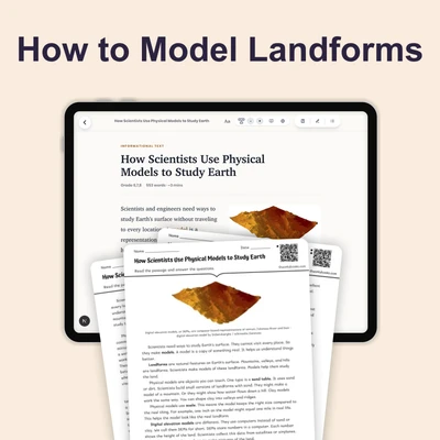
Reading Passage · MS-ESS2-1
Three ways to use Workybooks — pick what fits.
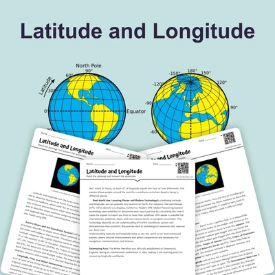
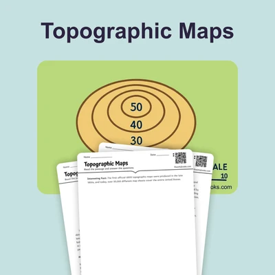
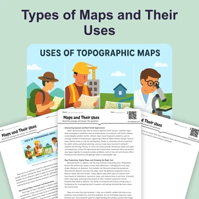
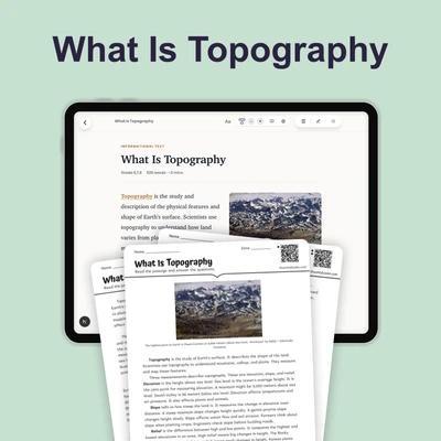
Maps and Topography resources span the K-5 progression, starting with basic concepts like maps as representations of places, cardinal directions, and map keys. In early grades, students practice identifying land and water on simple maps and using symbols. As they move through grades 2 and 3, they learn about scale, grids, and intermediate directions. By grades 4 and 5, students interpret topographic maps, understand elevation and contour lines, and analyze physical features such as mountains, valleys, and plains. Related concepts include hemispheres, latitude and longitude, and the relationship between topography and climate.
These teacher-authored, standards-aligned resources include worksheets, reading passages, games, and graphic organizers. They are designed to be scaffolded and differentiated, allowing teachers to select appropriate levels for diverse learners. Activities promote skills like spatial reasoning, critical thinking, and map reading, while building vocabulary such as relief, slope, and landform.
Teachers can use this hub to find the right Maps and Topography resources for any classroom setting. For whole-group lessons, project a digital map activity or use a printable worksheet as a guided practice. Small groups and literacy centers can work with differentiated reading passages or map games. Independent practice and homework are supported with no-prep worksheets that reinforce key concepts. For intervention, select simpler maps with fewer symbols; for enrichment, use topographic challenges. These resources also serve as quick assessments or review before unit tests. Mix printable and digital formats to accommodate varied learning preferences and technology access.
These resources align with Common Core State Standards for reading informational text and writing, as well as with grade-level geography standards that address map skills and spatial thinking across grades K-5.
Yes, many of our Maps and Topography worksheets printable versions are available for classroom use. You can download and print them directly from the site. Some resources are free, while others require a membership.
Absolutely. Our Maps and Topography worksheets for kids span kindergarten through 5th grade. Each resource is labeled with the recommended grade range, so you can easily find materials that match your students' level.
Yes, many resources include a digital version that students can complete on a device. These are great for 1:1 classrooms or for assigning as homework. A membership provides access to both printable and digital formats.
Our resources are tagged with grade levels and complexity. For struggling learners, start with simple map keys and cardinal directions. For advanced students, use topographic maps with contour lines and elevation. You can also assign different worksheets or games to small groups based on readiness.