How Did the Himalayas Form
Interactive passage with audio narration, comprehension questions, and printable PDF.
By completing this purchase you agree to our Terms of Use and Privacy Policy. Your subscription renews automatically until you cancel. You can cancel anytime from your account settings. All sales are final and non-refundable. Digital content is available for download in your account immediately upon purchase.
What's included
How Did the Himalayas Form preview and details
About this printable How Did the Himalayas Form science reading passage, NGSS-aligned (Grades 5-8)
Sample passage and quiz from How Did the Himalayas Form
Reading passage and comprehension quiz preview
How Did the Himalayas Form
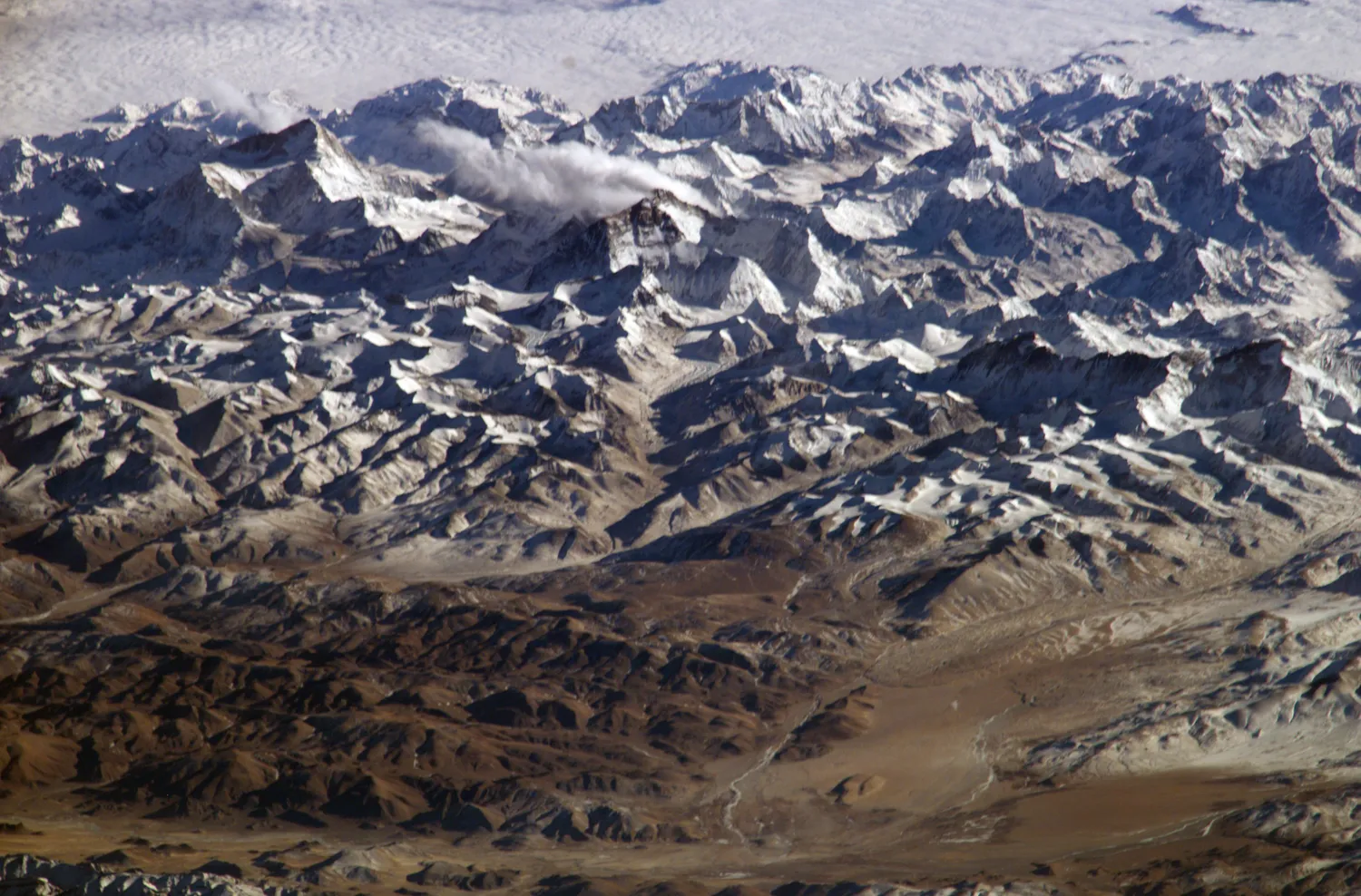
"Himalayas" by NASA / Wikimedia Commons.
The Himalayas formed when two massive pieces of Earth's crust crashed together. About 50 million years ago, the Indian landmass collided with the Asian continent. This collision created the tallest mountains on Earth, including Mount Everest. The process continues today as India keeps pushing northward into Asia.
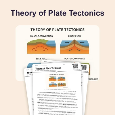
Scientists explain that Earth's outer layer consists of large sections called tectonic plates. These plates float on hot, soft rock beneath them and move very slowly. Long ago, India was part of a larger landmass that broke apart. India then drifted northward across an ancient ocean called the Tethys Sea. Evidence shows this journey took millions of years.
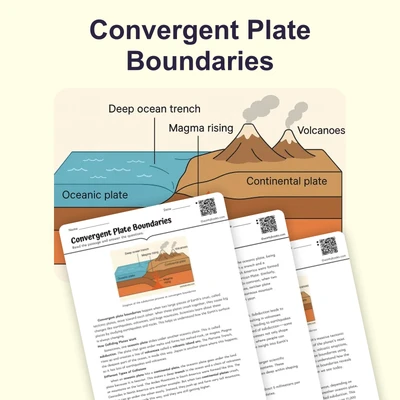
When India finally reached Asia, something remarkable happened. Both landmasses were made of thick continental crust, which is lighter than ocean crust. Neither plate could sink beneath the other at this convergent boundary. Instead, the crust between them crumpled and folded upward. This process created enormous fold mountains. The rock layers buckled like a rug pushed against a wall.
Mount Everest stands as the highest point on the planet at 29,032 feet above sea level. Scientists have discovered marine fossils near its summit. These fossils include ancient sea creatures such as trilobites and ammonites. This evidence shows that rock now miles high once rested at the bottom of the Tethys Sea. The fossils were lifted upward as the mountains rose.
The collision between India and Asia represents a special type of plate boundary where two continents meet. This differs from boundaries where ocean crust sinks beneath continental crust. The Himalayas continue to rise about 5 millimeters each year. Earthquakes in the region show that tectonic forces remain active. The mountains may keep growing for millions more years.
Understanding how the Himalayas formed helps scientists explain mountain building worldwide. This process shows how Earth's surface changes over vast time periods. The Himalayas demonstrate that our planet remains geologically active. Mountain ranges record the powerful forces that shape continents.
Interesting Fact: The Himalayas contain rocks that traveled over 3,000 miles from their original position. Some limestone layers found high in the mountains formed in warm, shallow seas near the equator millions of years ago.
Comprehension quiz (10 questions)
1. What caused the Himalayas to form?
2. Why couldn't either plate sink beneath the other when India and Asia collided?
3. What does the term 'convergent boundary' mean in the passage?
4. What evidence proves that rocks near Mount Everest's summit were once underwater?
5. Based on the passage, what can you infer about Earth's surface?
6. How does the passage describe fold mountains forming?
7. If you found marine fossils at the top of a mountain, what would this suggest?
8. Why do earthquakes still occur in the Himalayan region?
9. True or False: The Himalayas stopped growing millions of years ago.
10. True or False: Tectonic plates float on hot, soft rock and move very slowly.
Perfect for the way you teach
- Build comprehension skills
- Auto-graded quiz
- Differentiated reading
- Read together at home
- Improve fluency
- Quiet reading time
- Reading curriculum support
- Independent practice
- Track Lexile growth