How Do Scientists Monitor Air Quality
Interactive passage with audio narration, comprehension questions, and printable PDF.
By completing this purchase you agree to our Terms of Use and Privacy Policy. Your subscription renews automatically until you cancel. You can cancel anytime from your account settings. All sales are final and non-refundable. Digital content is available for download in your account immediately upon purchase.
What's included
How Do Scientists Monitor Air Quality preview and details
About this printable How Do Scientists Monitor Air Quality science reading passage, NGSS-aligned (Grades 6-8)
Sample passage and quiz from How Do Scientists Monitor Air Quality
Reading passage and comprehension quiz preview
How Scientists Monitor Air Quality
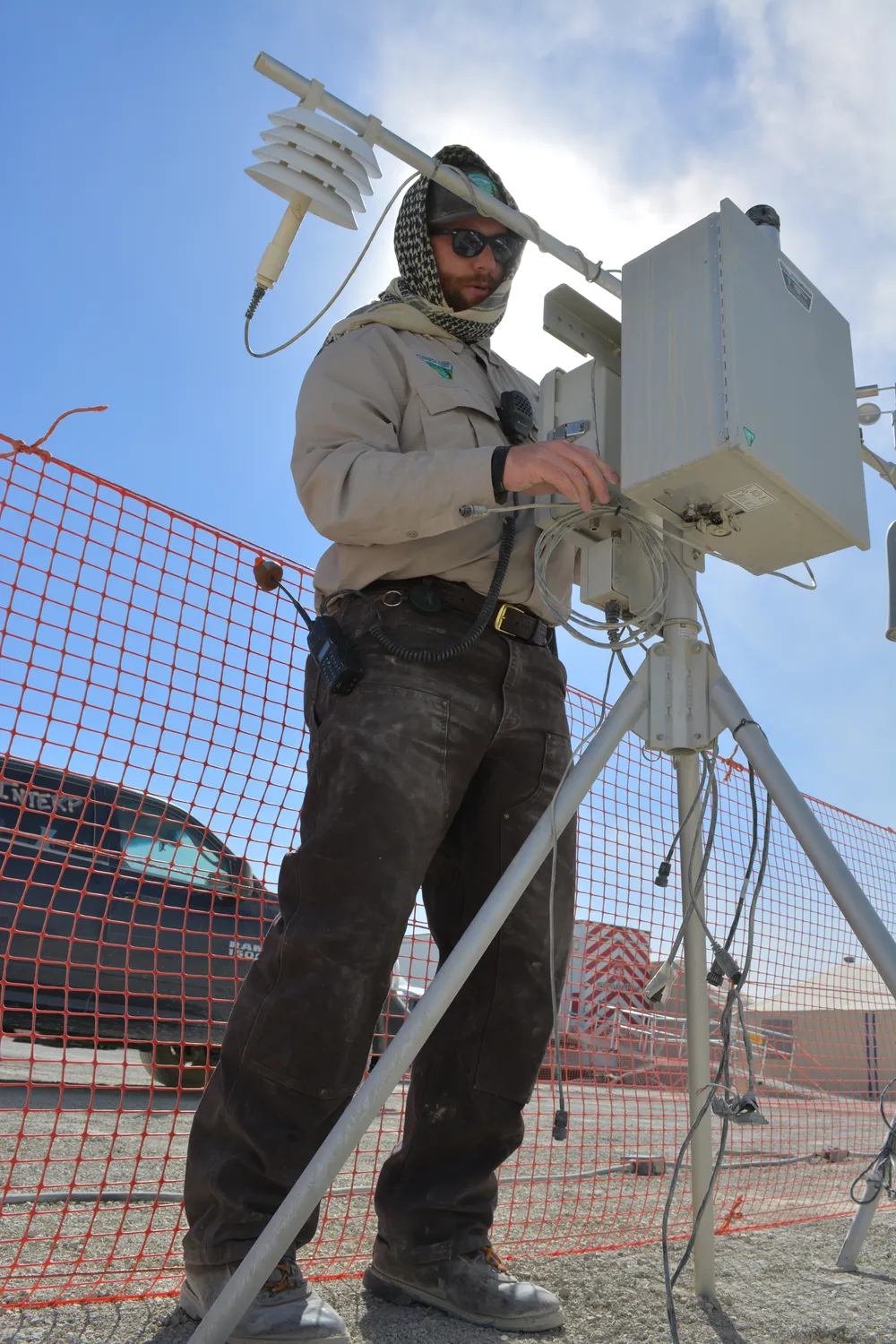
Scientists use specialized tools and technology to measure the quality of the air we breathe. .Air quality monitoring by BLM Nevada / Wikimedia Commons
Scientists use specialized tools and technology to measure the quality of the air we breathe. Air quality monitoring involves tracking pollutants, greenhouse gases, and other substances in the atmosphere. This data helps scientists understand how clean or polluted the air is in different locations. Three main methods make this possible: ground stations, satellites, and atmospheric sensors.
Ground stations are locations on Earth's surface equipped with instruments that measure air quality continuously. These stations contain sensors that detect specific pollutants, which are harmful substances released into the air. Common pollutants include carbon monoxide from vehicles, sulfur dioxide from factories, and particulate matter from smoke and dust. Ground stations record measurements every hour, creating a detailed record of air quality changes throughout the day. Cities often place multiple ground stations in different neighborhoods to identify pollution hotspots and protect public health.
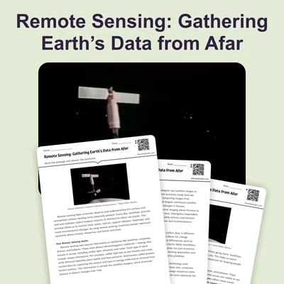
Satellites provide a different perspective by monitoring air quality from space. These orbiting instruments use remote sensing technology to detect gases and particles in the atmosphere without direct contact. Satellites can measure greenhouse gases like carbon dioxide and methane, which trap heat in Earth's atmosphere and contribute to climate change. They also track smoke from wildfires, dust storms, and pollution plumes traveling across continents. Unlike ground stations that measure one location, satellites can scan entire regions in a single pass, providing a global view of air quality.
Atmospheric sensors attached to weather balloons, aircraft, and tall towers collect data at different heights above the ground. These sensors measure temperature, humidity, wind speed, and chemical composition of the air. By sampling air at various altitudes, scientists can understand how pollutants move through the atmosphere and predict where they will travel. This vertical profiling helps meteorologists forecast air quality and issue warnings when pollution levels become dangerous.
The data collected from these monitoring systems serves an important purpose beyond scientific research. Governments use air quality measurements to create and enforce environmental policies, which are rules designed to protect air quality and public health. For example, when monitoring data showed high levels of sulfur dioxide causing acid rain in the 1990s, the United States government required power plants to install pollution control equipment. Scientists then used continued monitoring to verify that sulfur dioxide levels decreased by more than 90 percent. This demonstrates how monitoring data can measure the effectiveness of pollution controls and prove whether environmental policies are working.
Today, air quality monitoring helps cities issue health alerts when pollution reaches unsafe levels, guides decisions about factory emissions limits, and tracks progress toward reducing greenhouse gas emissions, or releases of gases into the atmosphere. Scientists compare current measurements to historical data to identify trends and evaluate whether air quality is improving or worsening. This evidence-based approach ensures that environmental policies are based on accurate information rather than guesses.
The combination of ground stations, satellites, and atmospheric sensors creates a comprehensive monitoring network. Each method has strengths that complement the others, providing scientists with multiple sources of data to cross-check and verify their findings. This integrated approach improves the accuracy and reliability of air quality assessments worldwide.
Interesting Fact: The newest air quality satellites can detect pollution sources as small as individual factories or power plants from space, allowing scientists to identify specific polluters from hundreds of miles above Earth.
Comprehension quiz (10 questions)
1. What is the main purpose of air quality monitoring?
2. Which of the following is an example of a pollutant mentioned in the passage?
3. What advantage do satellites have over ground stations for monitoring air quality?
4. In the passage, the term 'remote sensing' means:
5. How did scientists prove that pollution controls on power plants were effective in the 1990s?
6. What can atmospheric sensors attached to weather balloons and aircraft measure?
7. Based on the passage, why is it important to use multiple monitoring methods together?
8. How do governments use air quality monitoring data according to the passage?
9. True or False: Ground stations measure air quality only once per day.
10. True or False: The newest air quality satellites can detect pollution from individual factories from space.
Perfect for the way you teach
- Build comprehension skills
- Auto-graded quiz
- Differentiated reading
- Read together at home
- Improve fluency
- Quiet reading time
- Reading curriculum support
- Independent practice
- Track Lexile growth