How Weather Satellites Predict Storms
Interactive passage with audio narration, comprehension questions, and printable PDF.
What's included
How Weather Satellites Predict Storms preview and details
About this printable How Weather Satellites Predict Storms science reading passage, NGSS-aligned (Grades 5-8)
Sample passage and quiz from How Weather Satellites Predict Storms
Reading passage and comprehension quiz preview
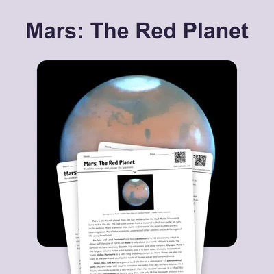
How Weather Satellites Predict Storms
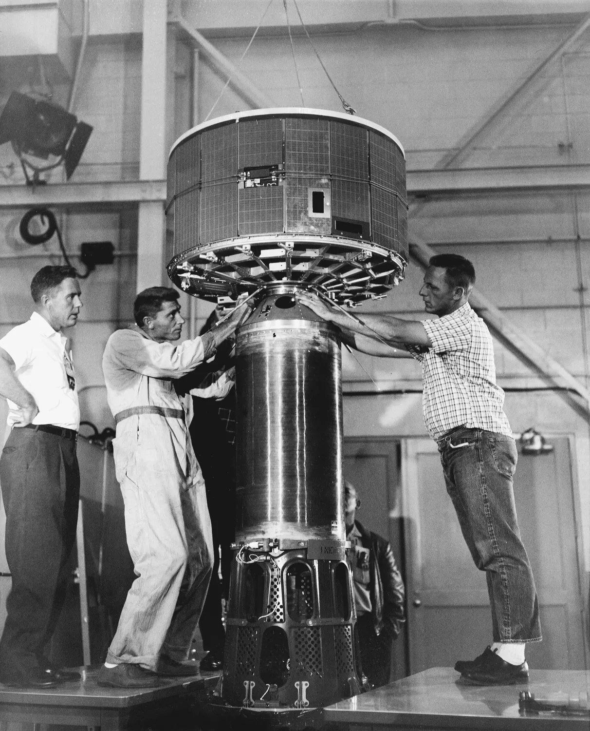
"TIROS, America's First Meteorological Satellite - GPN-2002-000116" by NASA / Wikimedia Commons (Public domain).
When you check the weather forecast on your phone or TV, you see predictions about storms days before they arrive. This information comes from weather satellites orbiting Earth. These satellites use orbital mechanics to monitor weather patterns and help meteorologists predict dangerous storms.
Two main types of satellites work together to track weather. Geostationary satellites orbit at about 22,300 miles above the equator. They move at the same speed Earth rotates. This means they hover over the same spot on the planet. Scientists can watch one region continuously. These satellites capture images every few minutes. They track storms as they develop and move.
Polar-orbiting satellites work differently. They circle Earth from pole to pole at much lower altitudes. These satellites scan the entire planet as Earth rotates beneath them. They collect detailed data about temperature, humidity, and wind patterns everywhere on Earth.
Meteorologists combine data from both satellite types to create accurate forecasts. Evidence shows this system saves lives. In 2005, satellites tracked Hurricane Katrina days before it struck the Gulf Coast. Scientists observed the storm strengthen over warm ocean waters. They predicted its path and intensity. This information allowed officials to issue evacuation warnings. Modern satellites can detect the early signs of tornadoes by measuring wind speeds and temperature changes in storm clouds. They also monitor severe thunderstorms that may produce damaging hail or flash floods.
Weather satellite technology matters because it protects communities from natural disasters. Farmers use satellite data to plan planting and harvesting schedules. Airlines rely on forecasts to avoid dangerous weather. Emergency managers prepare for hurricanes, blizzards, and other extreme events. The orbital mechanics that keep satellites in position allow constant monitoring of Earth's atmosphere. This technology connects space science to daily decisions that affect millions of people.
Interesting Fact: Geostationary weather satellites must maintain their exact position above Earth. Small rocket thrusters fire regularly to keep them from drifting out of place.
Comprehension quiz (10 questions)
1. What is the main purpose of weather satellites?
2. How high above Earth do geostationary satellites orbit?
3. What does the term 'geostationary' mean in the context of satellites?
4. What is the main difference between geostationary and polar-orbiting satellites?
5. Based on the passage, why did satellite data about Hurricane Katrina save lives?
6. How do meteorologists create accurate weather forecasts?
7. What can modern satellites detect to help predict tornadoes?
8. Why do geostationary satellites need small rocket thrusters?
9. True or False: Polar-orbiting satellites orbit at higher altitudes than geostationary satellites.
10. True or False: Weather satellite technology only benefits meteorologists and has no impact on other industries.
Perfect for the way you teach
- Build comprehension skills
- Auto-graded quiz
- Differentiated reading
- Read together at home
- Improve fluency
- Quiet reading time
- Reading curriculum support
- Independent practice
- Track Lexile growth