How Do Wells Reach Underground Water
Interactive passage with audio narration, comprehension questions, and printable PDF.
By completing this purchase you agree to our Terms of Use and Privacy Policy. Your subscription renews automatically until you cancel. You can cancel anytime from your account settings. All sales are final and non-refundable. Digital content is available for download in your account immediately upon purchase.
What's included
How Do Wells Reach Underground Water preview and details
About this printable How Do Wells Reach Underground Water science reading passage, NGSS-aligned (Grades 6-8)
Sample passage and quiz from How Do Wells Reach Underground Water
Reading passage and comprehension quiz preview
How Do Wells Reach Underground Water
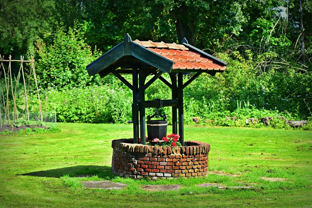
Wells are drilled or dug to reach below the water table and tap into the saturated zone. A well is essentially a hole that extends deep enough to intercept groundwater. Image by MabelAmber / Pixabay.
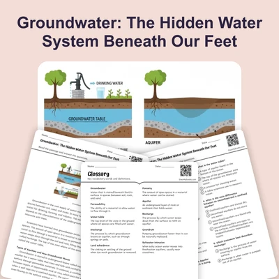
Underground water exists in spaces between soil particles and cracks in rocks beneath Earth's surface. The water table is the upper boundary where the ground becomes completely saturated with water. Above the water table lies the unsaturated zone, where soil and rock contain both air and water. Below the water table is the saturated zone, where all spaces between particles are filled with water. Understanding the water table is essential because it determines where people can successfully drill wells to access groundwater.
The depth of the water table varies significantly based on several factors. During rainy seasons, precipitation seeps down through soil and rock, causing the water table to rise closer to the surface. In dry seasons or droughts, the water table drops as plants absorb water and evaporation occurs. The type of geology also matters greatly. Permeable materials like sand and gravel allow water to move through easily, while clay and solid rock slow water movement. Areas with high porosity—meaning lots of spaces between particles—can store more groundwater. Human activities such as pumping water from wells or irrigating crops can lower the water table significantly over time.
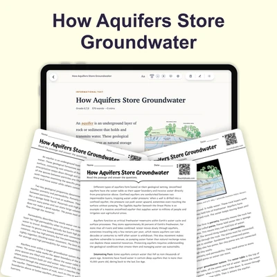
An aquifer is an underground layer of permeable rock or sediment that holds and transmits groundwater. Aquifers act like natural underground reservoirs. The most productive aquifers contain materials with both high porosity and high permeability, allowing them to store large amounts of water and release it readily to wells. Some aquifers extend for hundreds of miles and supply water to millions of people. The Ogallala Aquifer beneath the Great Plains, for example, provides irrigation water for about one-fifth of U.S. cropland.
Wells are drilled or dug to reach below the water table and tap into the saturated zone. A well is essentially a hole that extends deep enough to intercept groundwater. For a well to work reliably, it must penetrate far enough below the water table to account for seasonal fluctuations. If the water table drops below the bottom of the well during dry periods, the well runs dry and produces no water. This is why understanding local water table depth is critical before drilling. Wells in areas with shallow water tables may only need to be 20-30 feet deep, while wells in arid regions might require drilling hundreds of feet.
The recharge rate of an aquifer—how quickly water replenishes it—affects well reliability. If people pump water faster than the aquifer recharges, the water table declines. This has happened in many agricultural regions where intensive irrigation depletes groundwater faster than rainfall can replace it. When water tables drop significantly, deeper wells must be drilled at greater expense, and some wells become useless. Sustainable groundwater use requires balancing withdrawal with natural recharge.
Modern wells use pumps to lift water from the saturated zone to the surface. The pump must be positioned below the water table to function properly. As water is pumped out, the water table around the well forms a cone-shaped depression called a cone of depression. If pumping stops, the water table gradually recovers as groundwater flows back toward the well. Engineers must consider the cone of depression when spacing multiple wells to prevent them from interfering with each other.
Interesting Fact: Some wells drilled thousands of years ago are still in use today. The ancient Persians built underground channels called qanats to transport groundwater, and some of these systems continue supplying water in Iran and other Middle Eastern countries.
Comprehension quiz (10 questions)
1. What is the water table?
2. Which zone is located above the water table?
3. What does porosity refer to?
4. What happens to the water table during rainy seasons?
5. Why must a well penetrate below the water table?
6. What is a cone of depression?
7. If people pump water from an aquifer faster than it recharges, what will happen to the water table?
8. Which materials are most permeable and allow water to move through easily?
9. The saturated zone contains only water with no air in the spaces between particles.
10. Wells in arid regions are typically shallower than wells in areas with high rainfall.
Perfect for the way you teach
- Build comprehension skills
- Auto-graded quiz
- Differentiated reading
- Read together at home
- Improve fluency
- Quiet reading time
- Reading curriculum support
- Independent practice
- Track Lexile growth